
In 2022, the Territoire de Belfort celebrated its 100th birthday.
This was an opportunity to take a look at the strange destiny of the smallest French département (outside the Ile de France), which straddles Alsace and Franche-Comté.
I suggest you discover “Le Territoire” in 3 main parts: its geography, history, and unmissable destinations.
🇫🇷 Read this article in French on our blog Mon Grand-Est!
The geography of the Territoire de Belfort
To understand the geographical particularity of the department, here are some key figures.
Key figures for the department
- Area of the department: 609 km2 (national average: 5800 km2)
- Maximum distances: 44 km from the Ballon d’Alsace in the north to the village of Croix in the south and 22 km from east to west
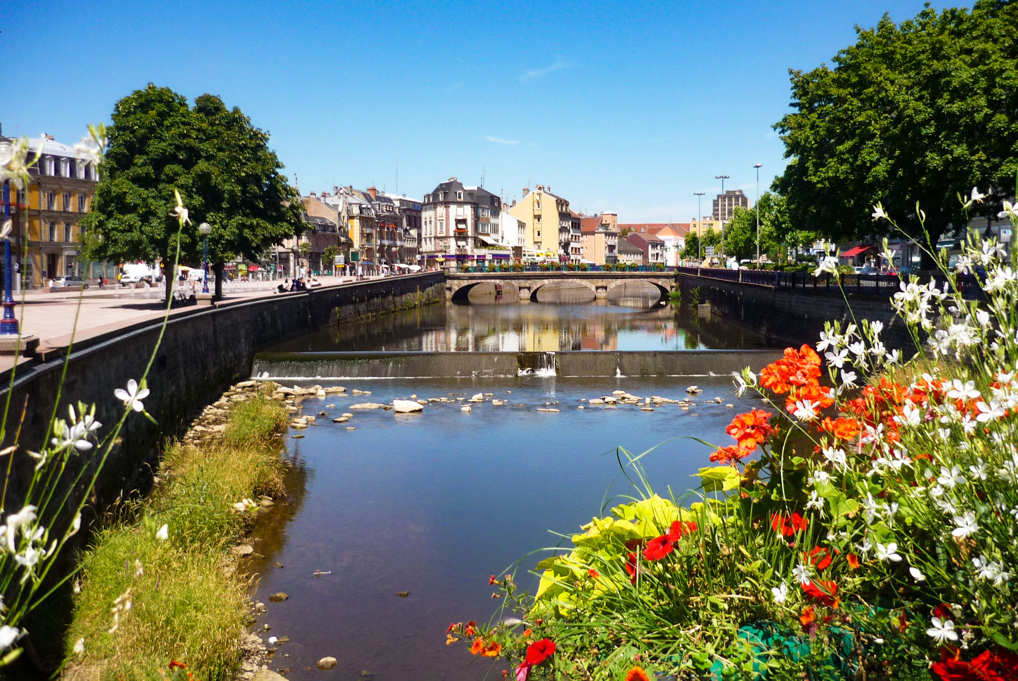
- Longest river: the Savoureuse (41 km of which is about 35 km in the [90])
- Number of communes: 101
- Highest point: Ballon d’Alsace in the Vosges (1247 m)
- Population: 141,318 (2019)
- Population density: 232 inhabitants/km2 (2019)
- Most populated municipalities in 2019: Belfort – the City of the Lion (46 443), Delle (5 667), Valdoie (5 269) and Beaucourt (5 010)
- Demonym: no official name. Sometimes “Belfortain” or “Terrifortain
- Prefecture and capital: Belfort
- Insee code: 90
- Region to which it belongs: Bourgogne-Franche-Comté (since 1 January 2016)
![Map of the Territoire de Belfort © LeMorvandiau - licence [CC BY-SA 4.0] from Wikimedia Commons](https://frenchmoments.eu/wp-content/uploads/2022/03/Carte-du-Territoire-de-Belfort-©-LeMorvandiau-licence-CC-BY-SA-4.0-from-Wikimedia-Commons-scaled.jpg)
Neighbouring territories
The departments and countries bordering the Territory are :
- Haut-Rhin [68] in Alsace
- Vosges [88] in Lorraine
- Haute-Saône [70], Doubs [25] in Franche-Comté
- the canton of Jura in Switzerland
The smallest French department?
From 1922 to 1968, the Territoire de Belfort was the smallest French département outside Paris (the département of the Seine had an area of 475 km2).
With the creation of the departments of the “petite Couronne” of Ile de France, the Territoire lost this status on 1 January 1968. In 2022, it is the 7th smallest French department, behind :
- Paris [75] – 105 km2
- Hauts-de-Seine [92] – 175 km2
- Seine-Saint-Denis [93] – 236 km2
- Val-de-Marne [94] – 245 km2
- Mayotte [976] – 376 km2
- the Metropolis of Lyon [69M] – 533 km2
Zero sub-prefectures!
Its size and its particular history explain that the Territoire de Belfort department has no sub-prefecture (or sous-préfecture). The Territoire shares this particularity with two other French departments: Paris [75] and Mayotte [976].
The Belfort gap
The Territoire de Belfort occupies a threshold between the Vosges and the Jura called :
- the Belfort gap or Trouée de Belfort
- the Porte de Bourgogne (when you are in Alsace or Germany)
- the Porte d’Alsace (when you are in Franche-Comté)
The north-south threshold is about 20 km long and connects the Rhine basin, which flows into the North Sea, and the Rhone basin, which flows into the Mediterranean.
The departmental boundary between the Territoire de Belfort and the Haut-Rhin roughly follows the watershed.
However, the pass (or highest point) is at Valdieu-Lutran in the Haut-Rhin, at an altitude of 345 m.
The relief of the Territoire
The department includes several relief zones, the three main ones being :
- The Vosges in the region of Giromagny. Highest point: the Ballon d’Alsace (1247 m)
- The Sundgau, known as “Belfortain“. An extension of the Sundgau whose natural and historical limits extend from Huningue to Belfort. The area comprises a hilly landscape.
- The foothills of the Jura. The Jura hills rise in the southern fringe of the Territoire, from Réchésy to Croix.
The ponds of the Territoire
The Territoire is dotted with small ponds in two areas:
- In the south, in the “Sundgau belfortain“, around Boron, Vellescot and Suarce.
- To the north, in the sub-Vosges region: around Malsaucy, Chaux and Grosmagny.
These bodies of water are often used for fish farming and recreational fishing.
The History of the Territory of Belfort
So why does the tiny Territoire de Belfort exist?
To understand this anomaly in the map of the French departments drawn up in 1790, you have to go back to the middle of the 19th century.
Or even further back in time, to the Middle Ages! Then, the hazards of the Franco-Prussian War of 1870-71 made this territory a department apart.
Belfort, an Austrian bastion
Until the middle of the 14th century, Belfort and its region were in the orbit of the county of Burgundy. After the death of the Count of Montbéliard, Renaud de Bourgogne, the lands of Belfort slipped into Alsace.
In 1324, the marriage of Albert II of Habsburg to Jeanne de Ferrette, granddaughter of Renaud of Burgundy, resulted in the whole of the Sundgau (including Belfort) coming under the control of the Dukes of Austria.
During this period, several seigneuries were established in the Austrian Sundgau: Ensisheim, Landser, Altkirch, Ferrette, Florimont (Blumenberg), Thann, Masevaux, Rougemont, Belfort, Rosemont and Delle.
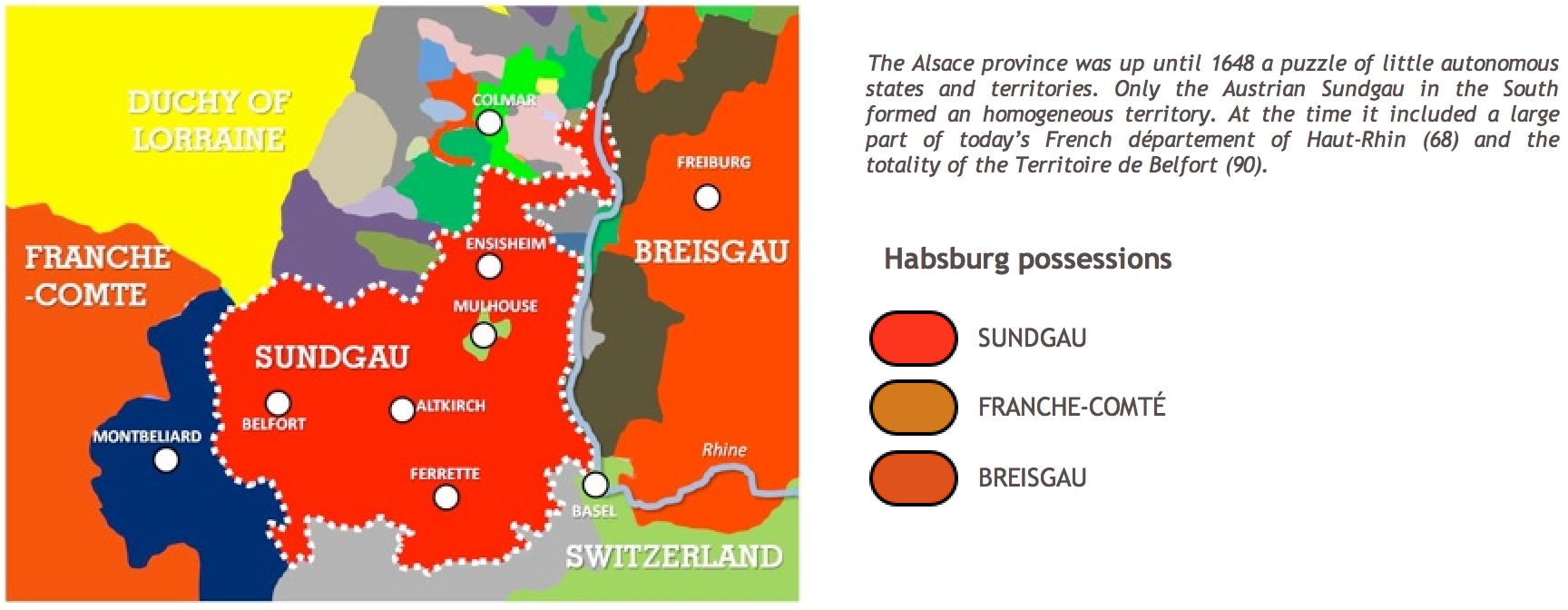
The Sundgau was included in a larger administrative unit: the “Vorderösterreich” or “Austria Anterior“. From 1510 onwards, the Habsburgs administered Upper Austria through regents who sat in Ensisheim.
From the 14th to the 17th century, the Sundgau was a Habsburg stronghold. Belfort, such as the “Finistere of Austria“, was coveted by the powerful duchy of Burgundy and the kingdom of France.

French Belfort
When the Sundgau was ceded to France on 24 October 1648 (Peace of Westphalia), Belfort shared the fate of Alsace.
This was the case in 1790 when the Constituent Assembly reorganised the French territory to create départements, each comprising several districts or arrondissements.
The province of Alsace was divided into two departments:
- in the north, the Bas-Rhin, capital: Strasbourg
- in the south, the Haut-Rhin, capital: Colmar
Belfort became the capital of the third district of the Haut-Rhin, the first two being Colmar and Altkirch (Mulhouse was then an independent city allied to the Swiss cantons).
![Map of the south of Département du Haut-Rhin en 1860 [Public Domain via Wikimedia Commons]](https://frenchmoments.eu/wp-content/uploads/2022/03/Carte-du-sud-du-Département-du-Haut-Rhin-en-1860-Domaine-Public-via-Wikimedia-Commons-scaled.jpg)
Curiously, several projects were proposed for the creation of a new département. It could have been called “Département de la Savoureuse” and include Belfort, Montbéliard and Porrentruy.
The administrative situation before 1870
When the Franco-Prussian War of 1870-71 broke out, the arrondissement of Belfort was larger than the present department. It comprised 191 communes (compared to 101 in 2022), which were divided into nine cantons:
- Belfort
- Cernay
- Dannemarie
- Delle
- Fontaine
- Giromagny
- Masevaux
- Saint-Amarin
- Thann
The heroic siege of Belfort
The Franco-Prussian war (19 July 1870 – 29 January 1871) ended in defeat for the French army.
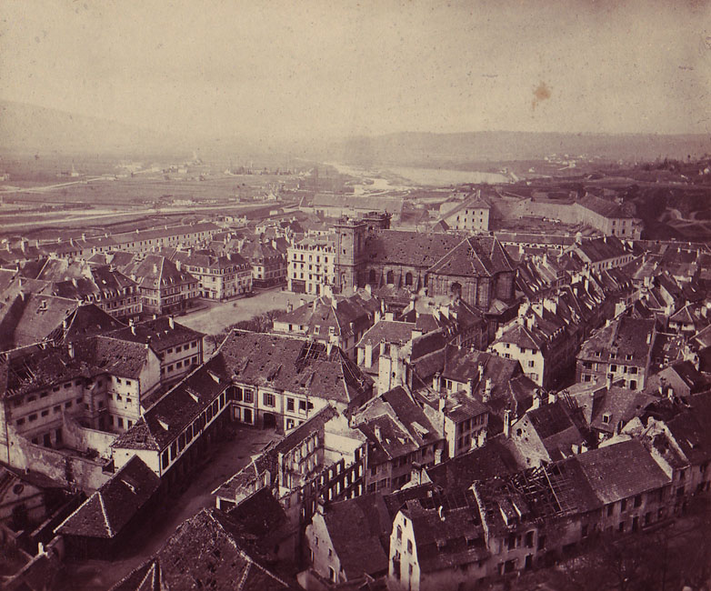
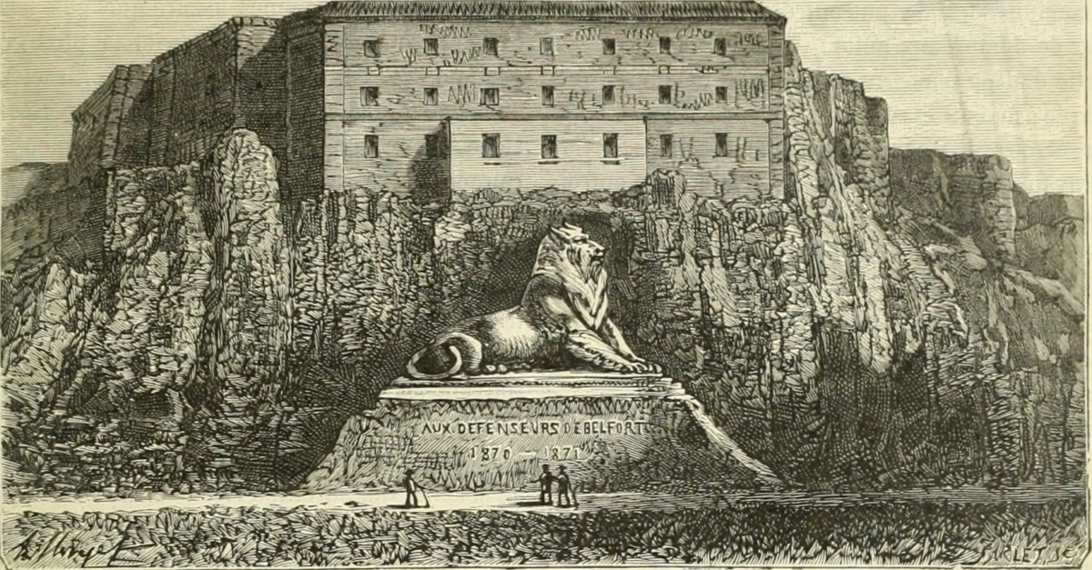
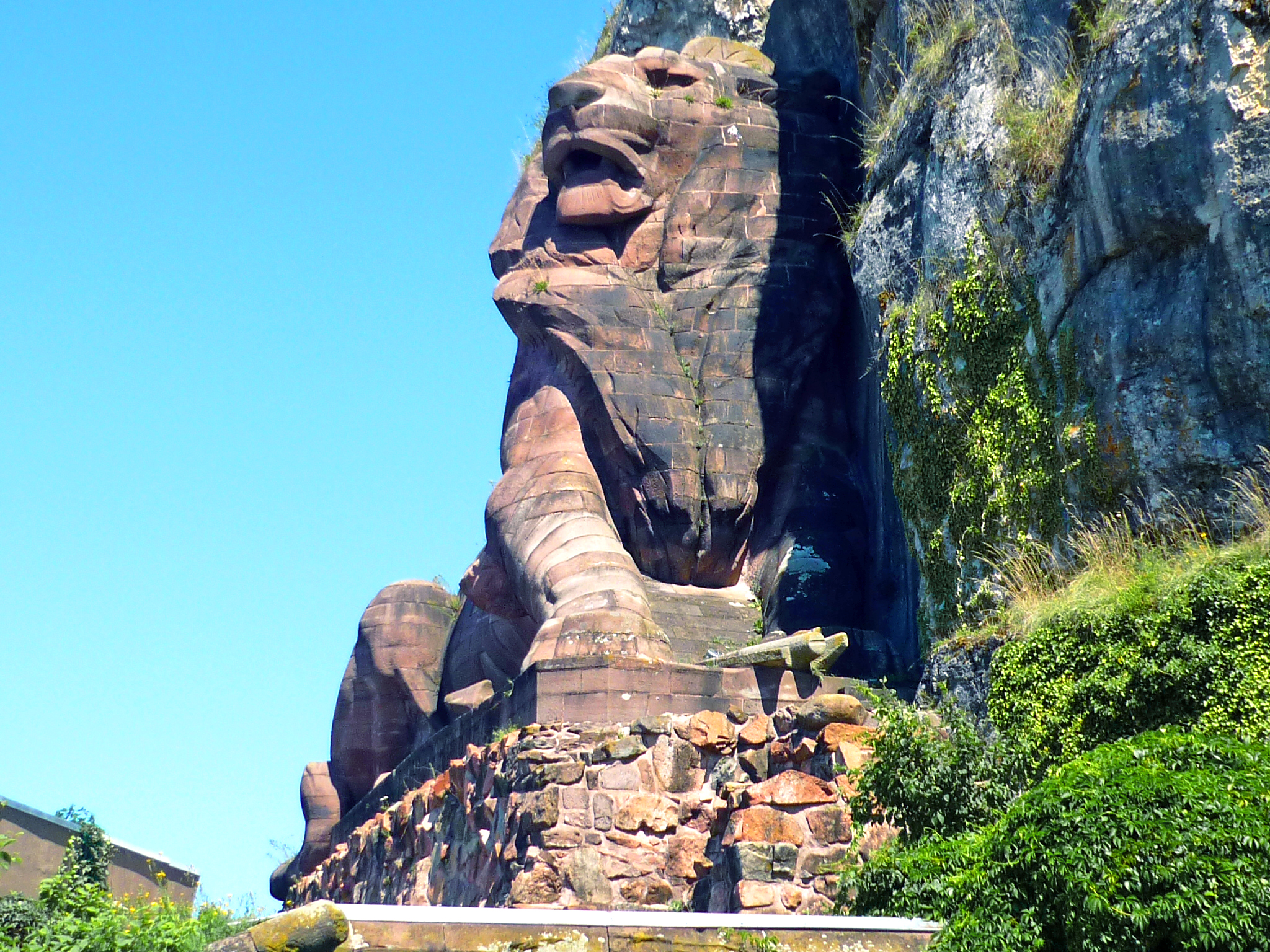
In 1870, Belfort endured a memorable 103-day siege. In the aftermath of the war, while the Prussians were still occupying the town, the City council wanted to build “a monument to the memory of the victims of the memorable siege of 1870-71“.
The Colmar sculptor Bartholdi was chosen to present his project. The result was the famous Lion of Belfort in May 1880.
The monumental statue of a lion carved in Vosges sandstone can be seen from several parts of the town as it is leaning against the rock under the castle.
Click here to find out more about the Lion of Belfort.
The agreements for the fixing of the border
The preliminaries of peace between France and Prussia signed on the 26th of February 1871 fixed the new border in the west of the Haut-Rhin department. However, Article 1 stipulated:
“On the other hand, the town of Belfort and its fortifications will remain in France with a radius to be determined later”.
This was the subject of difficult negotiations during the drafting of the Treaty of Frankfurt (which was signed on 10 May 1871).
The German proposals called for the German border to be fixed within a 5km radius of the city.
The French wanted the border to be set within 7.5 km (1 German mile) east of the fortress of Belfort.
But the French had an idea that would please the Prussian staff. Gustave Renault, a former engineer at the Ponts-et-Chaussées in Belfort, pointed out a natural boundary: the watershed between the Rhine and Rhone basins. And, to make matters worse, it coincided with the linguistic border between the Romance and Germanic languages.
The outcome of the negotiations
The German general staff saw the advantage of such a proposal and accepted the principle.
To strengthen the chances of keeping Belfort, the French proposed the exchange of 12 iron-rich communes in Lorraine for 60 in the Haut-Rhin, which would remain French.
In fact, two regions were the object of negotiations and haggling, village by village: that of Belfort and the iron-rich west of Thionville.
The following remained French:
- 60 communes around Belfort
- 26936 inhabitants
- 33105 hectares
Became German :
- 12 communes in the Aumetz basin in Lorraine
- 7083 inhabitants
- 9666 hectares
Immediately accepted by the Prussians, Thiers had the agreement ratified in the National Assembly in Paris.
After having shared the destiny of Alsace for almost 550 years, Belfort and its surroundings had to find a new identity.
Repercussions in Lorraine
Moreover, the Haut-Rhin was not the only département in the east to see its boundaries altered. After the war, the département of Meurthe became that of Meurthe-et-Moselle through the recovery of the territories of Briey and Longwy (then in Moselle) and the loss of Château-Salins and Sarrebourg (annexed to Germany). Thus, a new border was established towards Pont-à-Mousson, between Nancy and Metz.
![Evolution of departmental boundaries since 1871 © Sémhur - licence [CC BY-SA 4.0] from Wikimedia Commons](https://frenchmoments.eu/wp-content/uploads/2022/03/Evolution-des-frontières-départementales-depuis-1871-©-Sémhur-licence-CC-BY-SA-4.0-from-Wikimedia-Commons.jpg)
The creation of the Territory of Belfort after 1870
The detached part of the Haut-Rhin that remained French was not given the name “Territoire de Belfort“. And if the word “territoire” was used here and there, it was with a lower case “t”.
If we look at the collection of administrative acts, we can see that the wording has varied over time:
- on the 14th of June 1871: “the French zone of the former department of Haut-Rhin”.
- on the 15th of June 1871: “the part of the Haut-Rhin that remained French
- 2nd of August 1871: “the French district of the Haut-Rhin”
- 22nd of November 1871: “the territory of Belfort” (with a lower case ‘t’)
in 1880, the current département’s name was considered a proper name. Mail continued to be sent as “Haut-Rhin” until the - 3rd of August 1894. On that day, the postmark of the Faubourg de France post office was replaced by “Tre de Belfort”. However, the words “Haut-Rhin” were still used on envelopes until 1907.
In addition, the Territoire had not been given the official status of a département. Indeed, it remained until 1922 “a provisional entity pending the return of the annexed Haut-Rhin to France”.
A new border in the east
Thus, while the Territoire shared only one border with Switzerland, it discovered a second one on its side with Germany.
This border was materialised on the ground by a series of posts and milestones, the most emblematic of which is that of the Three Borders (Borne des Trois Puissances) at Réchésy, then the meeting point of three countries (France, Germany and Switzerland).
![Borne des trois puissances © Espirat - licence [CC BY-SA 4.0] from Wikimedia Commons](https://frenchmoments.eu/wp-content/uploads/2022/03/Borne-des-trois-puissances-©-Espirat-licence-CC-BY-SA-4.0-from-Wikimedia-Commons-scaled.jpg)
This artificial barrier separating people who were once united in their belonging to the Alsatian Sundgau and France, in general, was felt to be an unnatural break, an artificial creation resulting from political games without taking human realities into account.
The return of Alsace-Moselle to France
The victory of 1918 and the return to France provoked an explosion of joy in Belfort. Many people thought that the former arrondissement of Belfort was going to return to the Haut-Rhin of the pre-1871 period.
Thus, at the monthly meeting of the Société Belfortaine d’Emulation, on the 18th of November 1920, a vow was unanimously adopted “for the return of the arrondissement of Belfort to the département as the Constituent Assembly of 1790 had organised it”.
However, there were profound differences between Belfort and the Haut-Rhin, which were considered to be incompatible. In terms of social laws, relations between the State and the clergy, school laws, etc., the two regions were deemed to be incompatible.
On the “sentimental” level or in terms of belonging, a large part of the Belfort population had developed ties with the Haute-Saône or the Doubs. But the relatives and friends who had remained in the annexed part of Alsace had not been forgotten.
The official birth of the department
As early as 1918, the French authorities received several proposals to resolve the thorny question of the temporary situation of the Territoire.
Proposal by the Municipal Council of Belfort
On 23 November 1918, the Municipal Council of Belfort proposed the reorganisation of the administrative boundaries in Alsace with the creation of three departments:
- Haut-Rhin. Prefecture: Belfort. Sub-prefectures: Altkirch, Mulhouse, Thann. 446,517 inhabitants in 1918
- Rhin. Prefecture: Colmar. Sub-prefectures: Guebwiller, Sélestat. 414 885 inhabitants
- Bas-Rhin. Prefecture: Strasbourg. Sub-prefectures: Haguenau, Saverne, Wissembourg. 526,133 inhabitants
Proposal for a department of the Savoureuse
As at the beginning of the 19th century, the idea of creating a department of the Savoureuse made its way. It would be the union of the arrondissements of Belfort, Lure and Montbéliard.
Paris’ proposal
But after many administrative twists and turns, the Journal Officiel of the 14th of March 1922 published the final decision:
“By decree of the President of the Republic dated 11 March 1922, issued on the proposal of the Ministry of the Interior: Mr Maisonobe, administrator of the Territory of Belfort, is appointed Prefect of Belfort.”
The State thus promoted the administrator of the Territoire to the status of Préfet (Prefect). The Territoire de Belfort then became a department in its own right.
In 1922, there were 89 departments, the last being Yonne [89]. Later, the Insee assigned the number 90 to the Territoire de Belfort.
Belfort: a heart that swings between Alsace and Franche-Comté
In 1960, a decree attached the Territoire de Belfort to the regional action district of Franche-Comté.
With the promulgation of the decentralisation law on the 2nd of March 1982, the region became a full territorial authority. The State attached the Territoire de Belfort to the Franche-Comté region rather than to Alsace.
Since 1 January 2016, the Territoire de Belfort has been part of the Bourgogne-Franche-Comté region.
At the time of creating the new administrative regions, the question of Belfort’s belonging to Alsace resurfaced, particularly among certain local elected officials.
Thus, the possibility of Belfort being integrated into Alsace is still possible. Indeed, the law relating to the delimitation of the regions includes a right to opt-out (Article L4122-1-1), which would allow the Territory of Belfort to decide for integration to the new Grand Est region… or Alsace if the latter chose to leave the Grand-Est region!
Sites to see in the Territoire de Belfort
From Belfort to the Vosges, via the Sundgau, here are some suggestions of sites to discover in the Territoire de Belfort.
You can find specific sites to visit in Belfort-City in my other blog article: 10 Must-See Sights in the City of the Lion.
Belfort, the City of the Lion

A must-see destination in north-eastern France, Belfort is worth visiting for its history and monuments. A must-see:
The Lion of Belfort
The colossal statue by Bartholdi is located under the castle as if it were attached to the cliff. Find out more about the Lion of Belfort, the patriotic symbol of France.
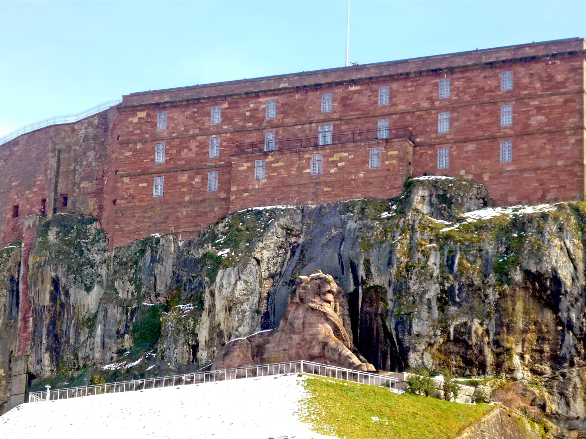
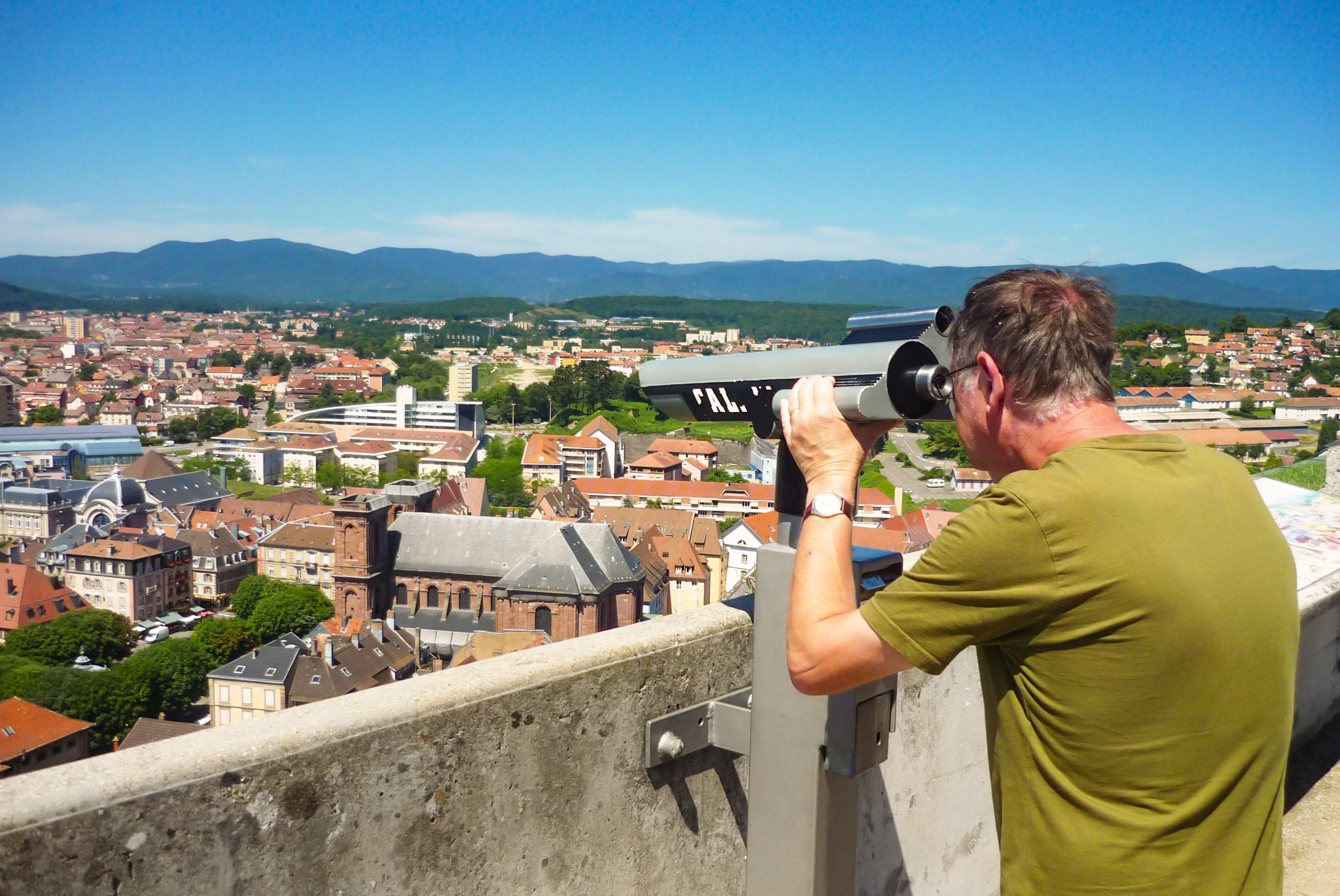
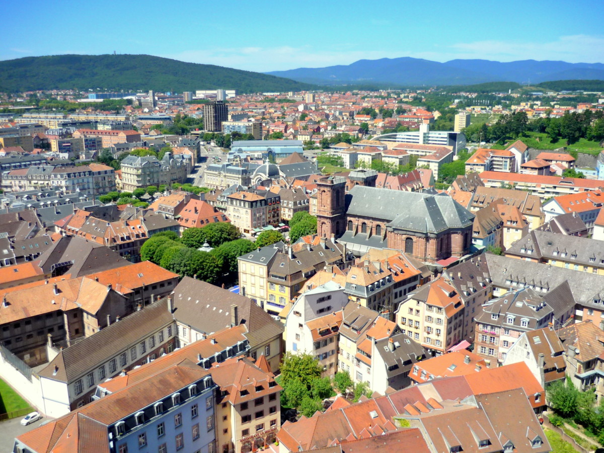
The citadel
The castle of Belfort stands at the top of the cliff overlooking the old town. The citadel dates from the 17th century and was built by Gaspard de Champagne, Count of Suze. From 1817, General Haxo transformed the castle into a modern fortress.
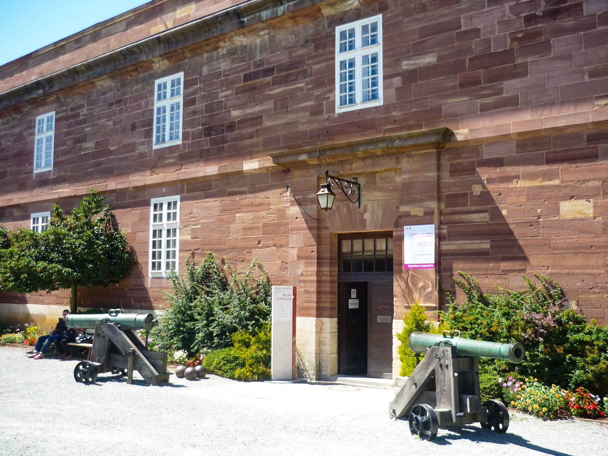
The citadel houses the Museum of History and Archaeology of Belfort and the panoramic terrace can be reached for a spectacular view of the city and its surroundings.
The Brisach Gate
The fortifications are still clearly visible in their northern part, particularly at the site of the Porte de Brisach. It dates from 1687, and its pediment still contains the arms of Louis XIV.
![Fortified City Gates of Alsace - Porte de Brisach, Belfort © Andrzej Harassek - licence [CC BY-SA 3.0] from Wikimedia Commons](https://frenchmoments.eu/wp-content/uploads/2021/09/Belfort-Porte-de-Brisach-©-Andrzej-Harassek-licence-CC-BY-SA-3.0-from-Wikimedia-Commons.jpg)
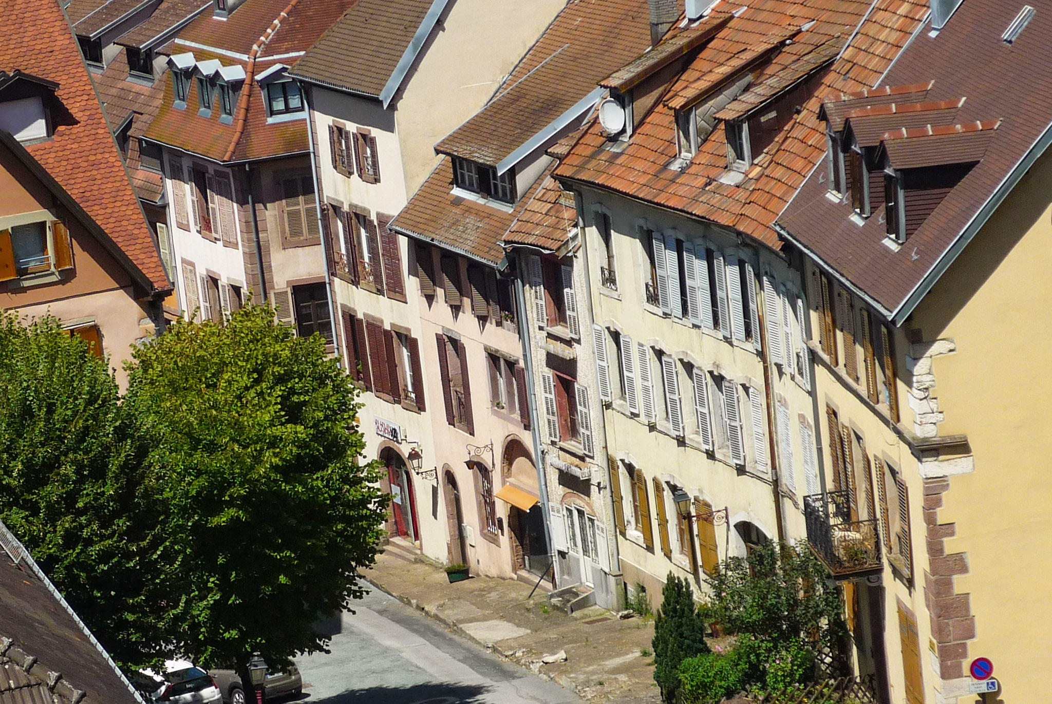
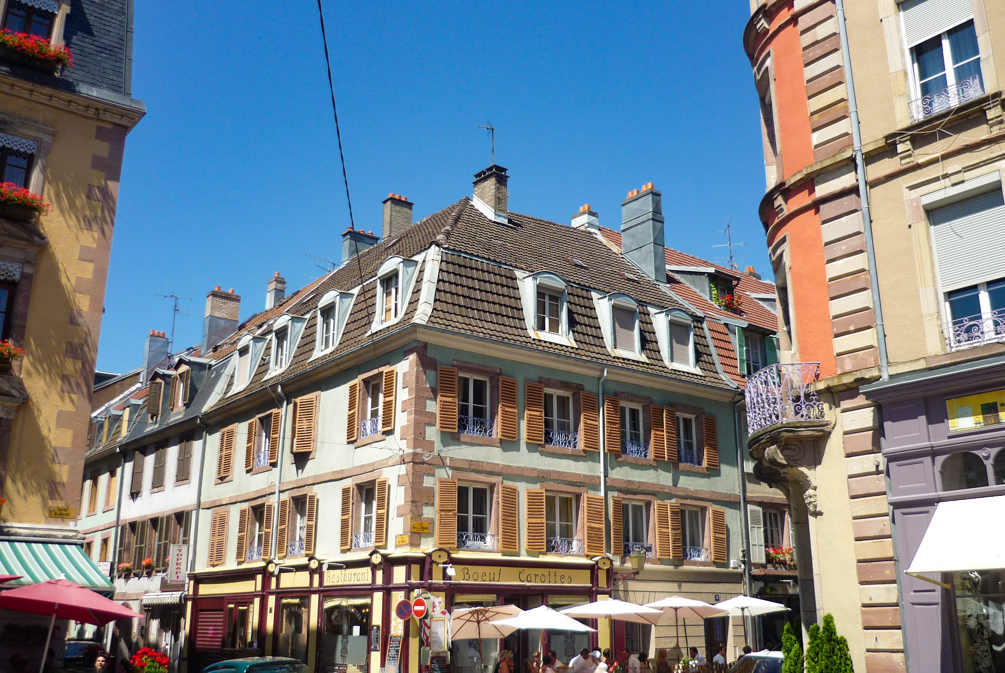
The old town
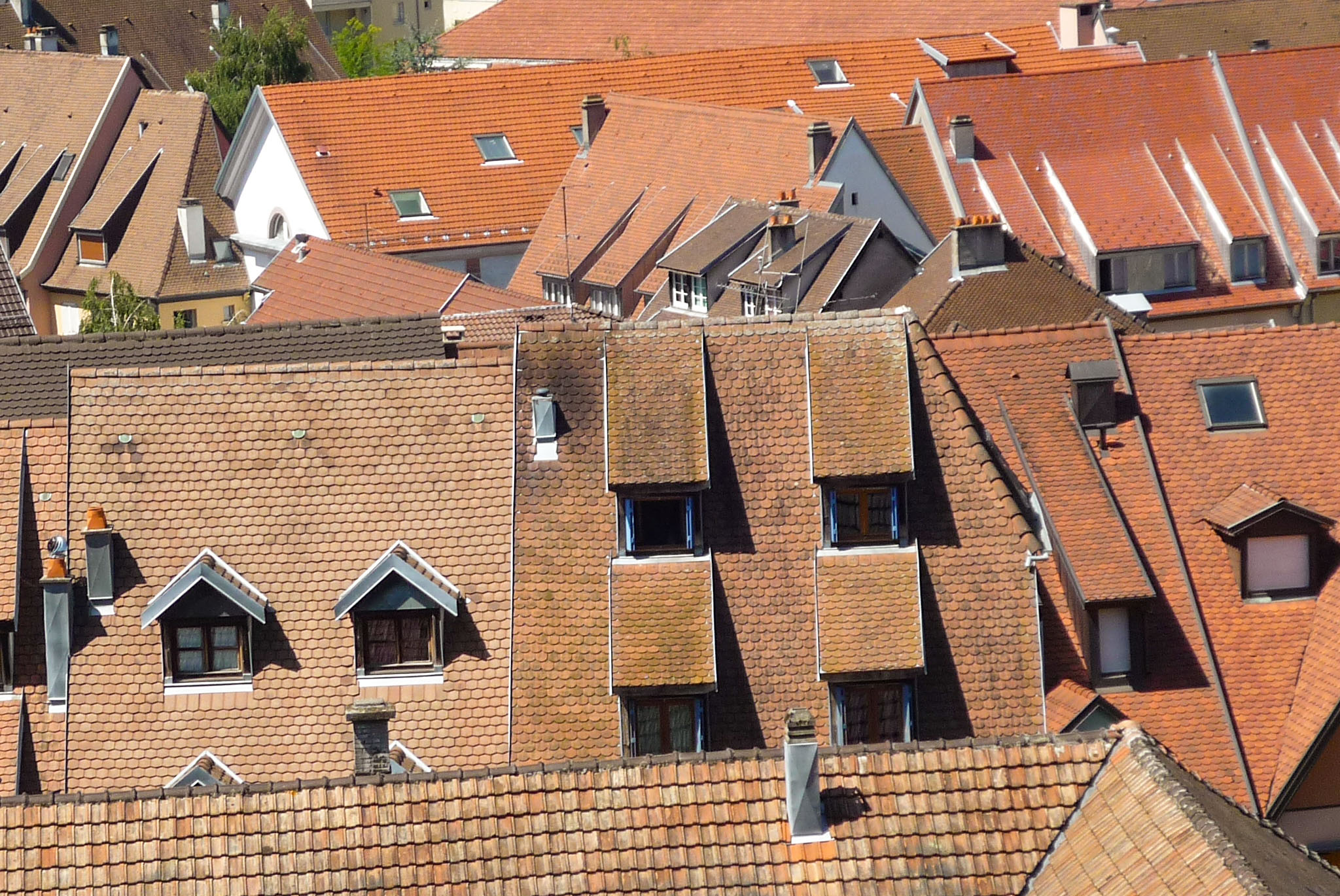
The old town of Belfort is located at the foot of the castle. It is the oldest part of the town and reveals its Alsatian past with its brightly coloured houses and high roofs.
On the Place d’Armes you will find the town hall and St. Christopher’s Cathedral.
![The Town Hall of Belfort © P-90 - licence [CC BY-SA 4.0] from Wikimedia Commons](https://frenchmoments.eu/wp-content/uploads/2022/03/Belfort-Hotel-de-Ville-©-P-90-licence-CC-BY-SA-4.0-from-Wikimedia-Commons-scaled.jpg)
The St. Christopher’s Cathedral was built in 1727 from Vosges sandstone in the neo-classical style.

The square houses the Quand-Même statue by Antonin Mercié. It represents an Alsatian woman in traditional costume supporting a soldier with one hand and holding a rifle in the other towards the east.

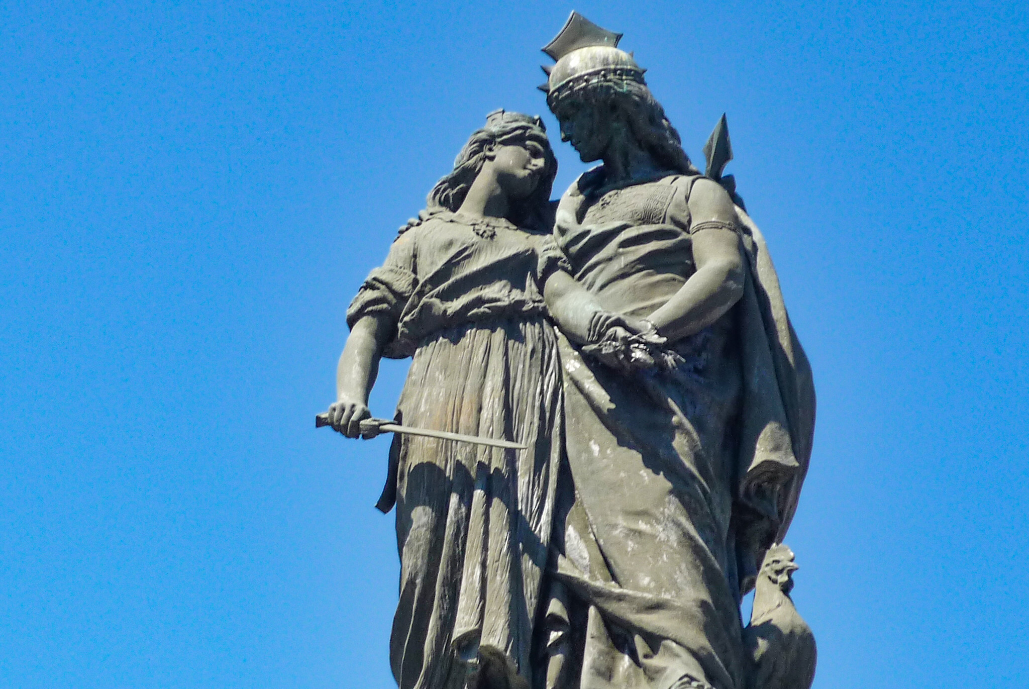
The Monument des Trois Sièges
In the centre of the Place de la République, the Monument des Trois Sièges (three sieges of Belfort in 1813, 1815 and 1870) is a posthumous work by Bartholdi. It was inaugurated on the 15th of August 1913 as a tribute to the three defenders of Belfort: Jean Legrand, Claude Jacques Lecourbe and Pierre Philippe Denfert-Rochereau.
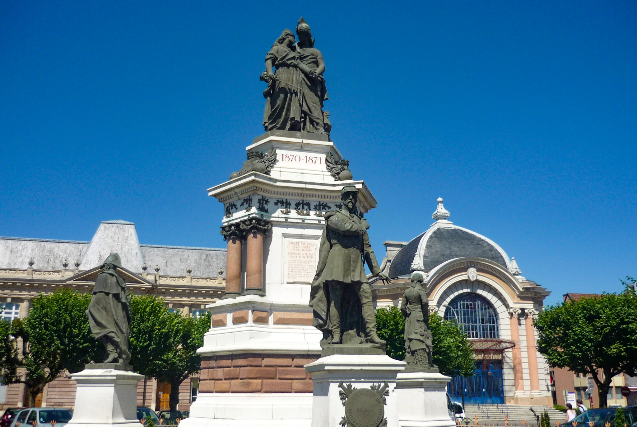
A group of four figures surmounts the monument. They symbolise :
- France (with the national rooster) supporting
- the city of Belfort (sword in hand),
- a young combatant and
- a little Alsatian woman.
In the vicinity of Belfort
The immediate vicinity of Belfort invites you to go for a walk. Walk around the Etang des Forges, up to the Miotte hill or to Salbert.
![Etang des Forges © André ALLIOT - licence [CC0] from Wikimedia Commons](https://frenchmoments.eu/wp-content/uploads/2022/03/Etang-des-Forges-©-André-ALLIOT-licence-CC0-from-Wikimedia-Commons-scaled.jpg)
The Malsaucy and Véronne lakes
The Malsaucy and Véronne lakes offer remarkable and picturesque landscapes with the Vosges in the background.
Owned by the Conseil départemental du Territoire de Belfort, the Malsaucy lake is best known for hosting the Eurockéennes music festival in early July. The pond has a free supervised beach open from early June to early September.
The neighbouring lake of La Véronne also belongs to the département. A path (accessible to people with reduced mobility) allows you to walk around it.
![Etang de la Véronne © André ALLIOT - licence [CC 0] from Wikimedia Commons](https://frenchmoments.eu/wp-content/uploads/2022/03/Etang-de-la-Véronne-©-André-ALLIOT-licence-CC-0-from-Wikimedia-Commons-scaled.jpg)
Giromagny
This village is an important stage before the ascent of the Ballon d’Alsace. Its main attraction is the Giromagny fort (1875-1879). It is part of the Séré de Rivières type fortifications of Eastern France. Equipped with a significant armament, it is now open to visitors.
![Giromagny Fort © Thomas Bresson - licence [CC BY 3.0] from Wikimedia Commons](https://frenchmoments.eu/wp-content/uploads/2022/03/Giromagny-Fort-©-Thomas-Bresson-licence-CC-BY-3.0-from-Wikimedia-Commons-scaled.jpg)
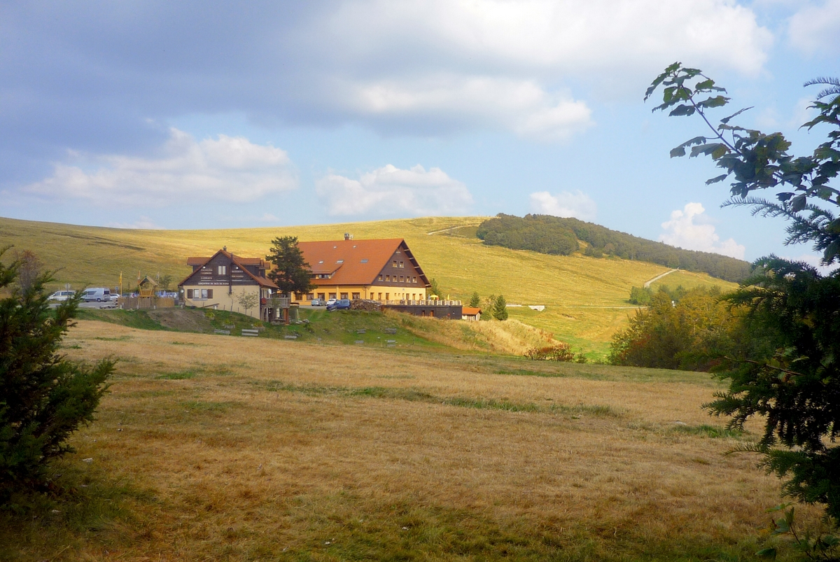
The Ballon d’Alsace massif
The north of the Territoire de Belfort belongs to the Vosges mountain range, and more particularly to the Ballon d’Alsace massif.
From Giromagny, the D465 goes up the Vosges valley of the Savoureuse. The rocky slopes are covered with fir and beech trees.
The Saut de la Truite is a fine waterfall formed by the Savoureuse in the hollow of a rocky fissure.
![Saut de la Truite © Espirat - licence [CC BY-SA 4.0] from Wikimedia Commons](https://frenchmoments.eu/wp-content/uploads/2022/03/Saut-de-la-Truite-©-Espirat-licence-CC-BY-SA-4.0-from-Wikimedia-Commons-scaled.jpg)
Some 1,200 metres upstream is another waterfall: the Cascade du Rummel.
![Cascade de la Savoureuse © Thomas Bresson - licence [CC BY 3.0] from Wikimedia Commons](https://frenchmoments.eu/wp-content/uploads/2022/03/Cascade-de-la-Savoureuse-©-Thomas-Bresson-licence-CC-BY-3.0-from-Wikimedia-Commons-scaled.jpg)
The road then leads to the lawns of the hautes-chaumes, as you approach the summit of the Ballon d’Alsace.
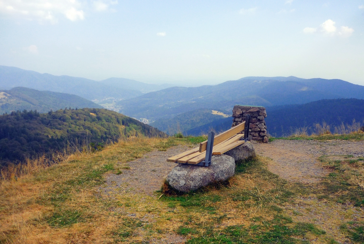
The Ballon d’Alsace (altitude 1247 m) is the southernmost important summit of the Vosges. It is here that the Savoureuse river rises. The view extends to the north to the Donon, to the east to the Alsace plain and the Black Forest, to the south to the Jura, the Swiss Alps and Mont Blanc.
The Sundgau Belfortain
The landscape of the Sundgau Belfortain is best appreciated by following the small departmental roads by car or by bicycle. It is a rural and hilly region covered with ponds and beautiful beech forests.
Except for Delle, there are no towns. Many charming villages with beautiful half-timbered houses remind us that the region used to belong to Alsace.
To get a good idea of Belfort’s Sundgau, leave from Belfort and drive through the villages of Chèvremont, Petit-Croix, Montreux-Château, Bretagne, Vellescot, Suarce and Réchésy. At Florimont, the seat of an important seigniory in the Middle Ages, there is a nice view of the village and the ruined tower of the old castle. Continue through Faverois to Delle.
![Florimont © Espirat - licence [CC BY-SA 4.0] from Wikimedia Commons](https://frenchmoments.eu/wp-content/uploads/2022/03/Florimont-©-Espirat-licence-CC-BY-SA-4.0-from-Wikimedia-Commons.jpg)
To find out more
- 10 Must-See Sights in the City of the Lion
- Learn more about the history of Belfort
- Strong as a lion: the Lion of Belfort, a patriotic symbol
- The fascinating history of the Austrian Sundgau
- The site of the Belfort tourist office
- 🇫🇷 Read this article in French on our blog Mon Grand-Est!
Liked what you read? Pin it on Pinterest: