We were fortunate to live in a village east of the Salève mountain for a year. My family and I climbed the summit on many occasions in all seasons of the year to contemplate the spectacular view over the regions of Geneva and Annecy. If you are visiting this region, I highly recommend climbing it… by car! Just make sure the weather is fine enough to admire the panoramic views.
About the Salève mountain
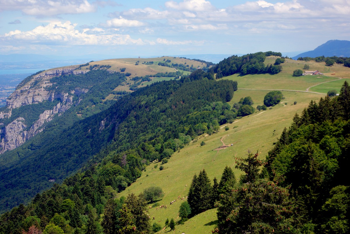
The Salève mountain is situated in the département of Haute-Savoie and overlooks the Swiss city of Geneva. This mountain of the French Prealps culminates at 1,379 metres (4,524 ft) at the Grand Piton.
The Salève stretches over a distance of 20 km between Cruseilles and Annemasse. Its western side facing Geneva shows an abrupt eroded slope with naked strata to the difference of the eastern side, which goes down to the Bornes plateau.
The Salève mountain is actually made up of two elevations separated by the picturesque Monnetier valley: the Grand Salève, the largest and highest part and the Petit Salève, reaching an altitude of 899 metres.
The Salève: a popular site

Situated just 20km from central Geneva, the Salève mountain is a top-rated site that attracts many visitors. It is estimated that more than 700,000 people live around its slopes. Most of the visitors come for a day trip from Greater Geneva, but also the region of Annecy.
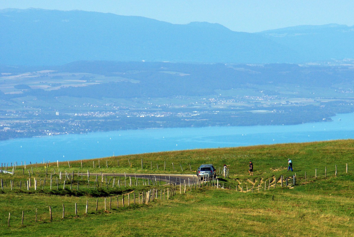
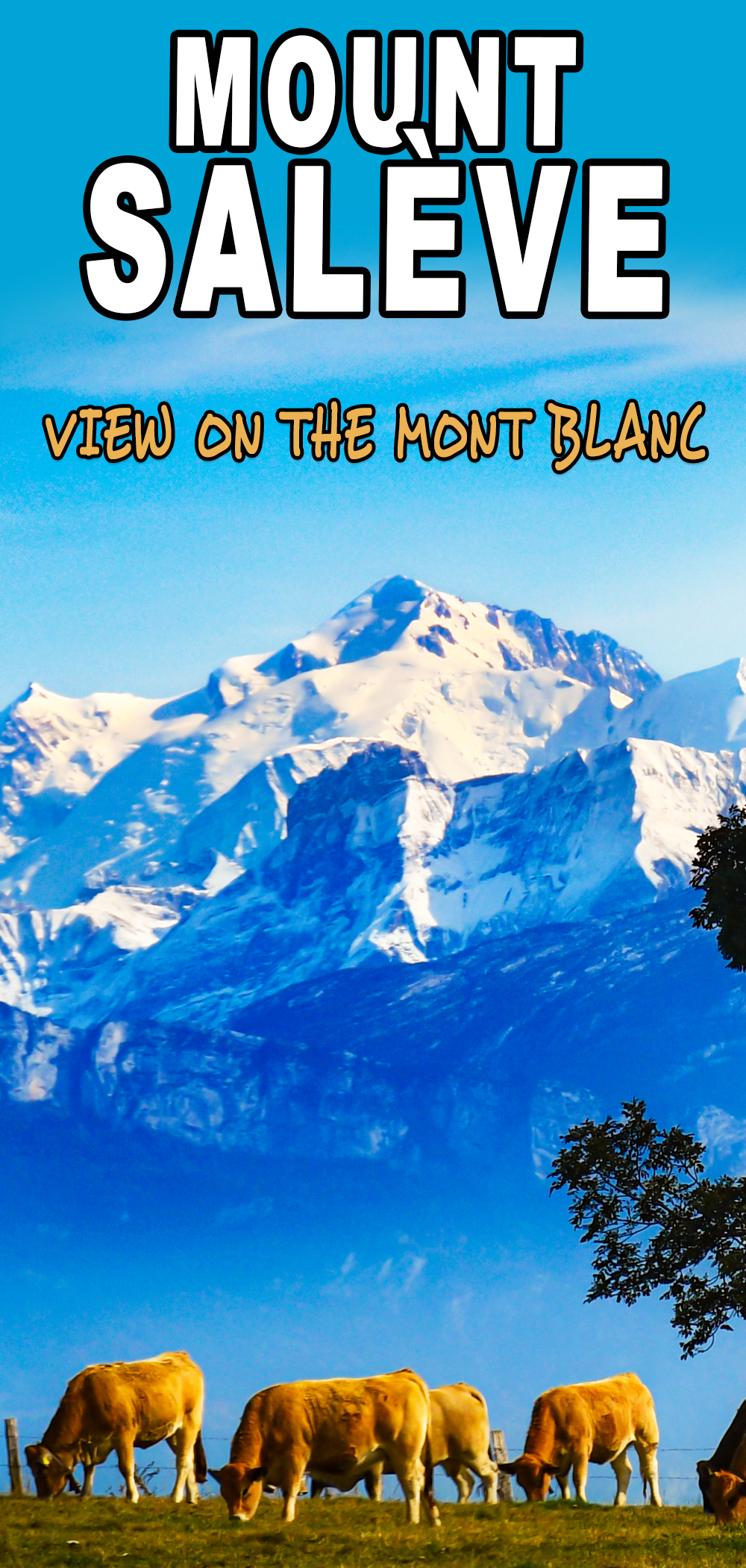
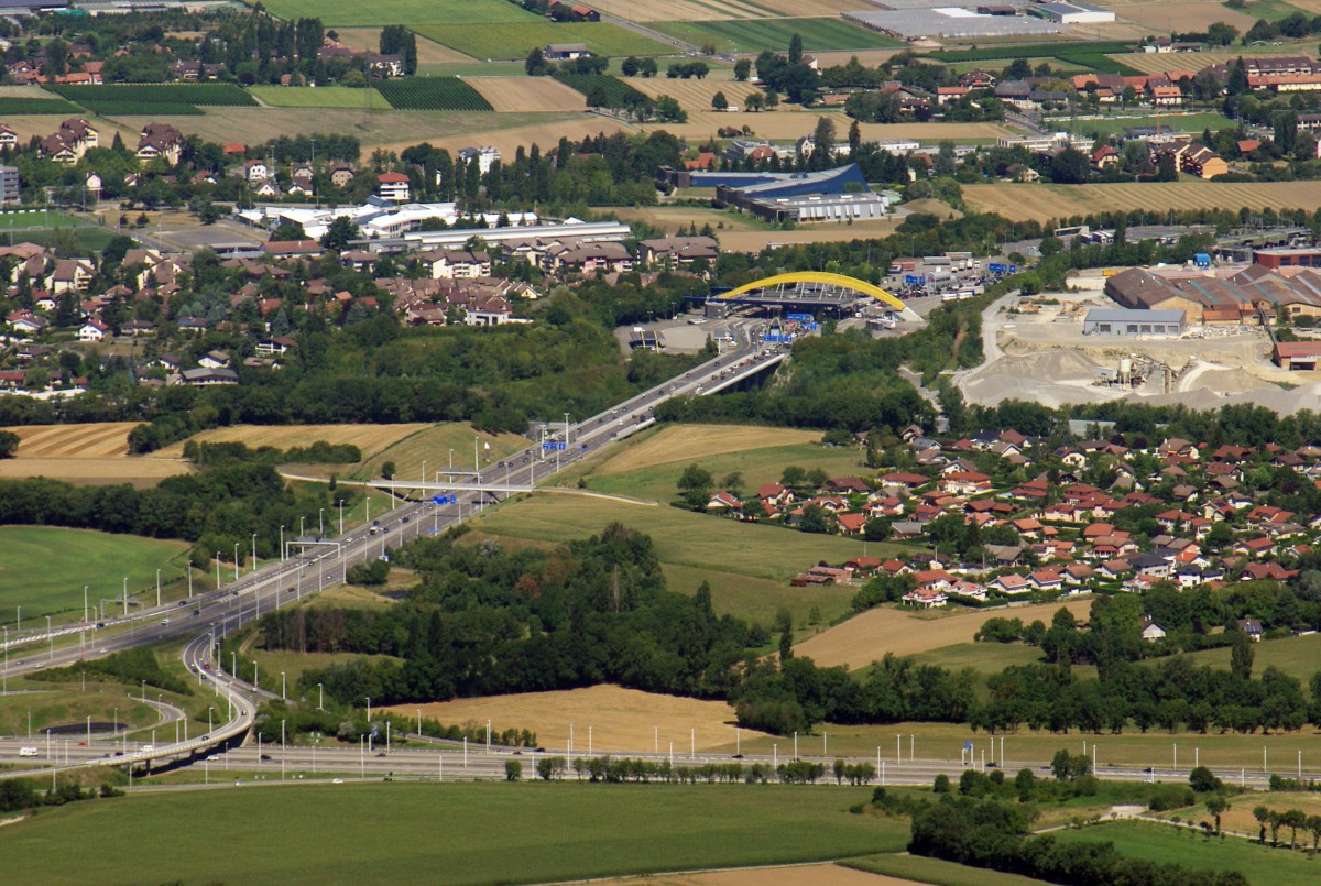
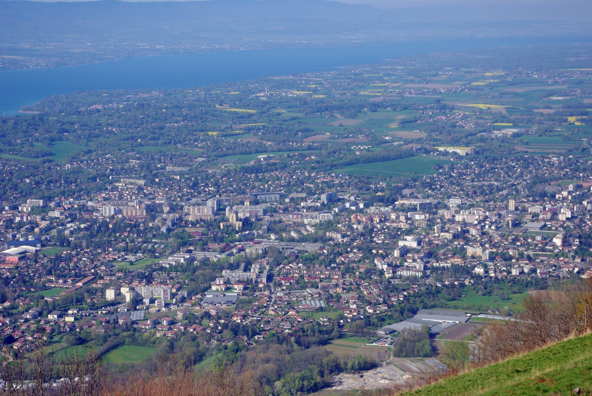
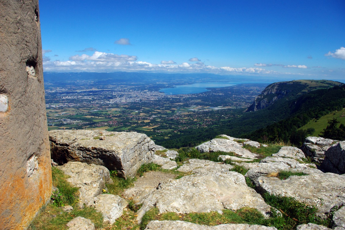
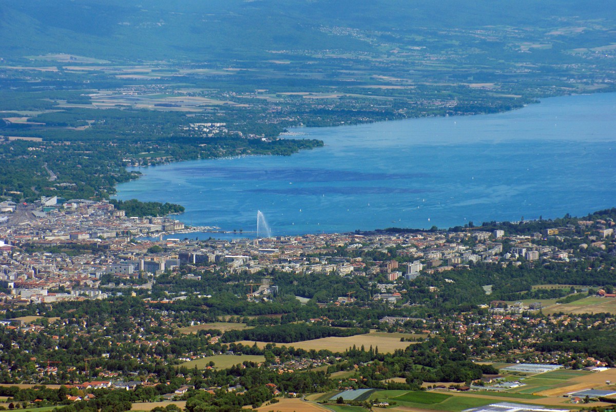
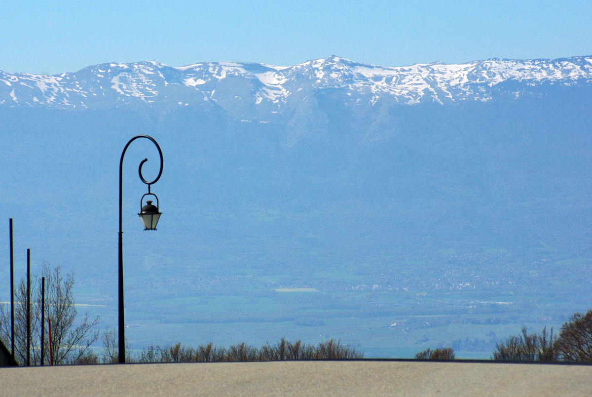
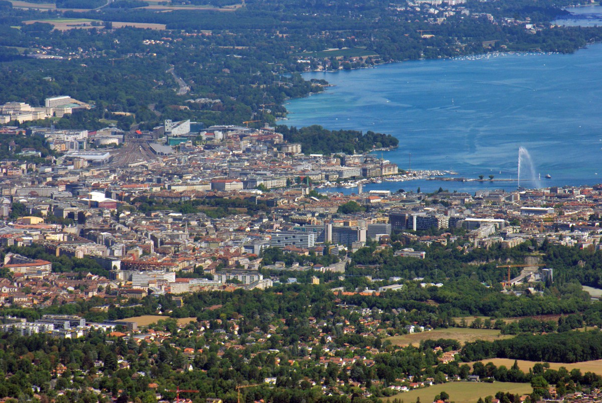
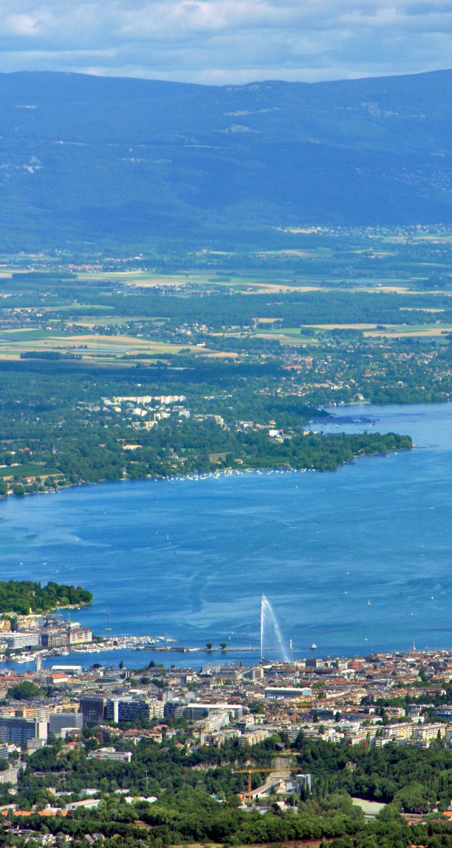
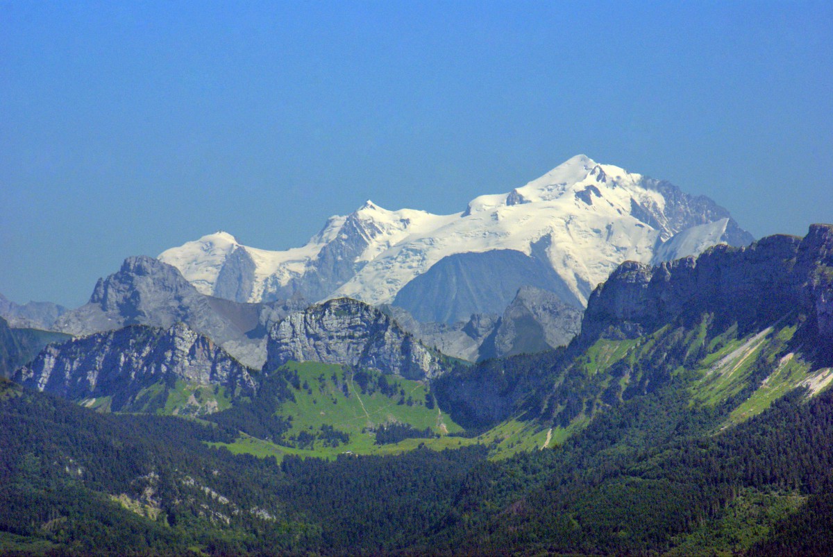
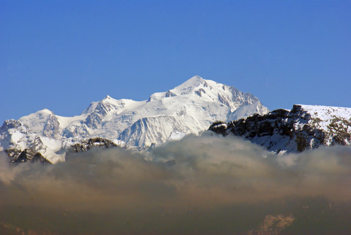
Many climb the mountain to enjoy spectacular views over the region: Geneva and its lake, the Monts Jura, the Prealps of Haute-Savoie and Mont-Blanc, Western Europe’s highest peak.
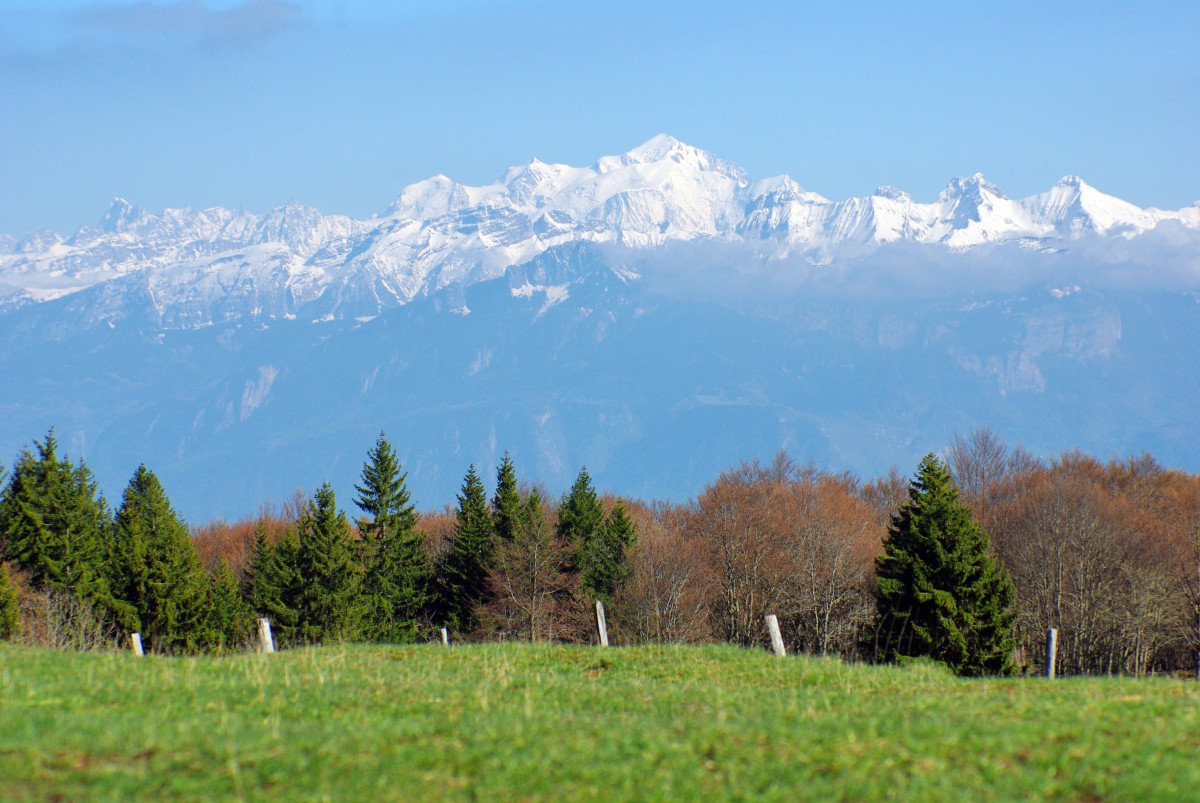
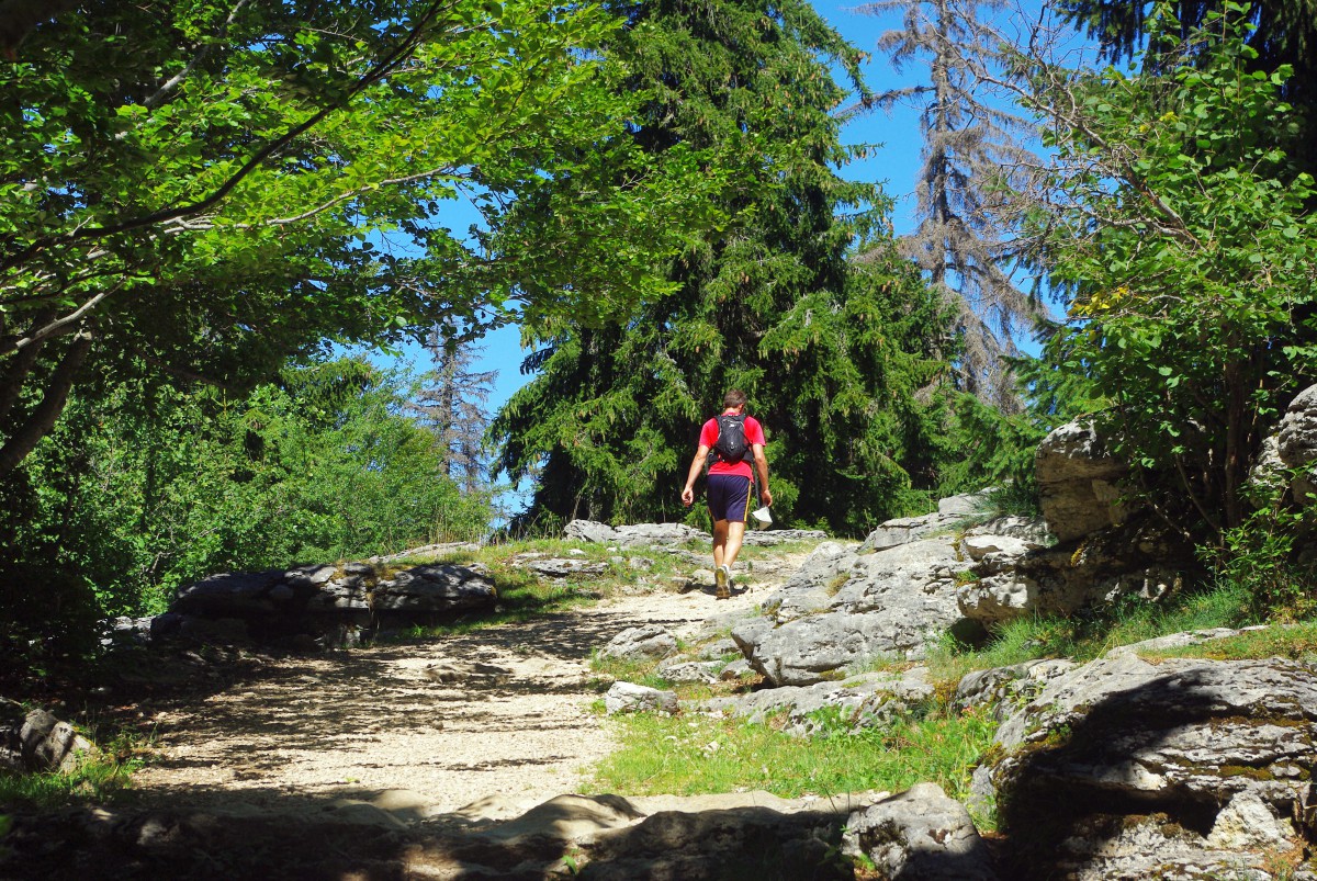
The mountain is a playground for many outdoor activities such as hiking, paragliding, hand gliding, rock climbing, speleology, and skiing. The Salève mountain is crisscrossed by several hiking trails. A few well-marked paths are ideal for hikers with little experience.
The most visited part of the Salève is from La Croisette to the cable car station. From Cruseilles to La Croisette, the alpine pastures are known as being wilder.
7 safety instructions to follow before walking on the Salève
An informative panel by the Syndicat mixte du Salève is placed at the entrance to the path leading to the summit. It gives seven safety instructions that can be applied to any mountainous environment, not just the Salève!
The paths of the Salève can be dangerous; respect safety instructions:
- Do not leave the marked paths
- Do not leave your children alone
- Have the necessary equipment (shoes, clothes, water, telephone)
- Inform yourself about weather conditions
- Avoid the steep paths, which can be ice covered in case of frost
- Watch out not to cause falling rocks
- Plan your route and adapt it to your physical condition
Finally, the Syndicat mixte du Salève recalls that you are responsible for your safety!
A hiking site on Mount Salève in case you want to join a walking tour.
Discovery itinerary of the Salève mountain
Take your car and a good pair of mountain shoes for this one-day discovery of the Salève mountain. This is the route I planned before reaching the Salève mountain.
From Cruseilles to Le virage du Plan
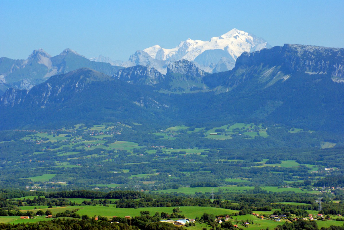
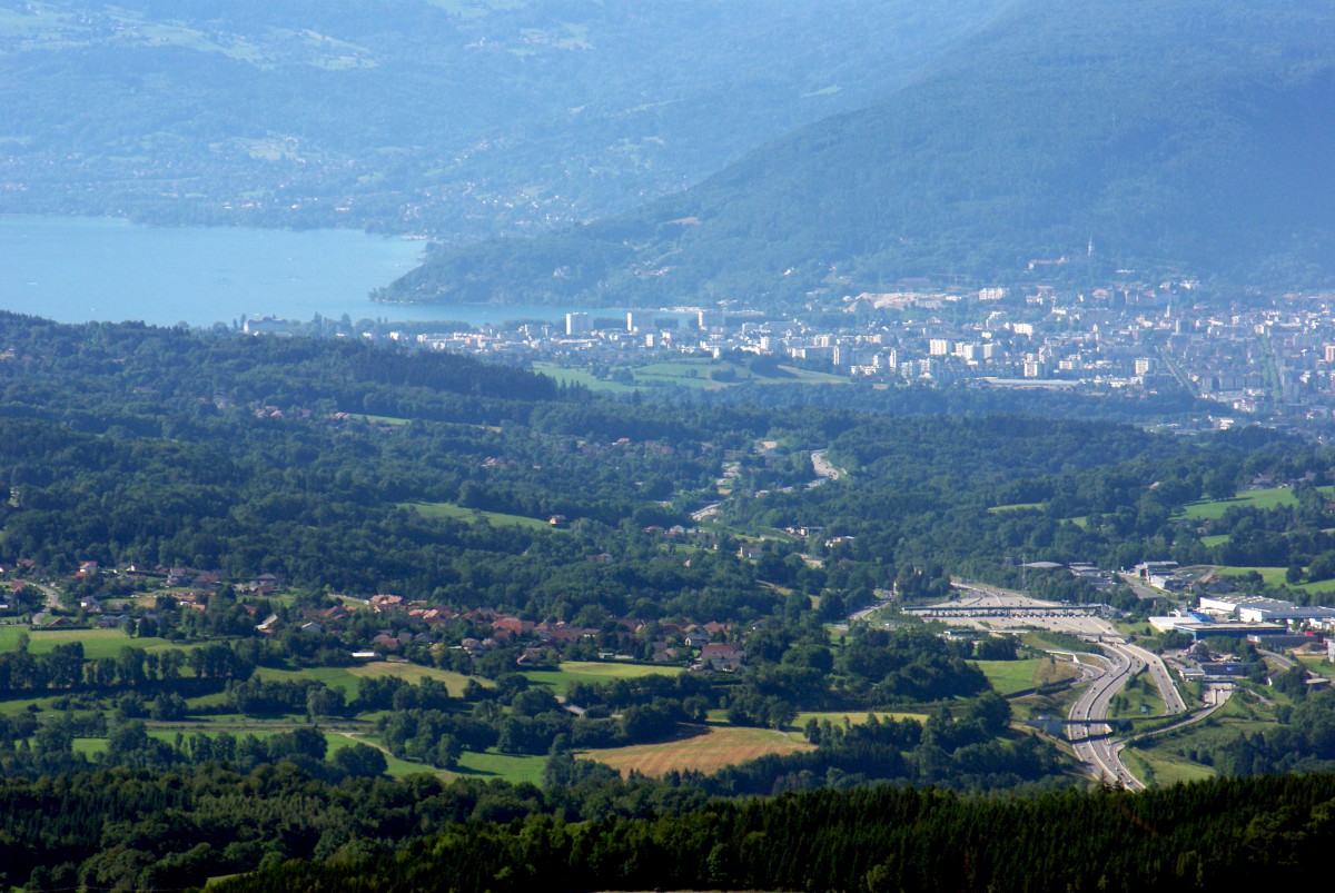
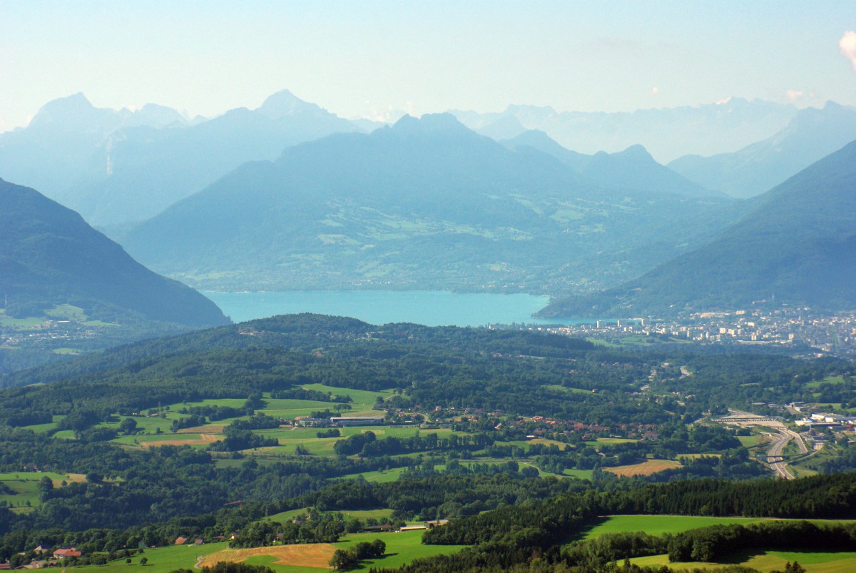
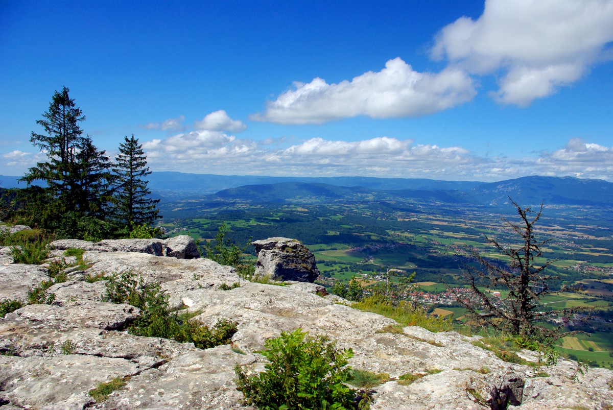
Start the climb to Mont Salève at Cruseilles. Drive on the D41A, which has many hairpin turns. When the roads reach the alpine pastures, stop at the car park of the Virage du Plan (altitude of 1260 m). From there, the view extends to Lake Annecy, the Prealps, the Aravis and the Mont-Blanc. The Bornes plateau lies just at the foot of the mountain.
Le Grand Piton
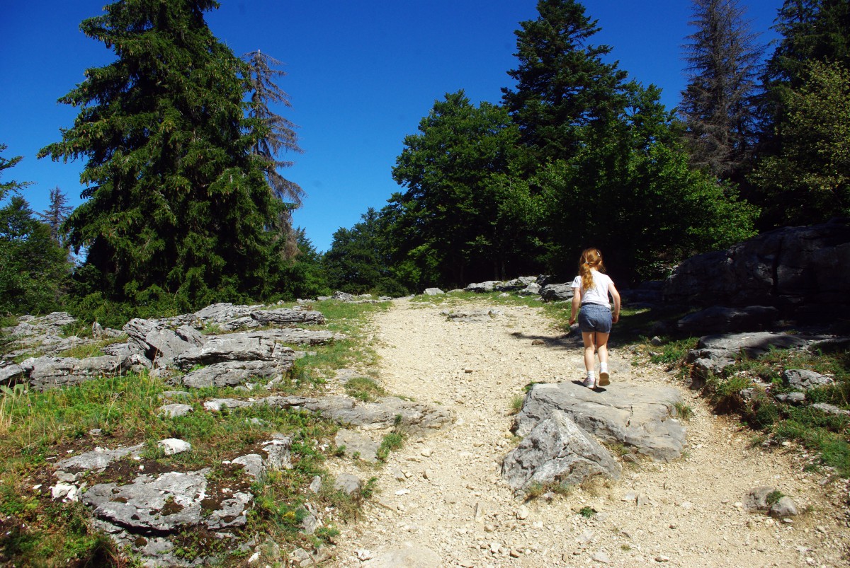
Continue the road for approximately 3 km to the next parking situated just under the Grand Piton. The walk to the Grand Piton takes about 10-15 minutes. Just before arriving at the edge of the mountain cliff, you’ll see a stone marking the actual culminating point of the Salève at an altitude of 1,379 m (4,524 ft).
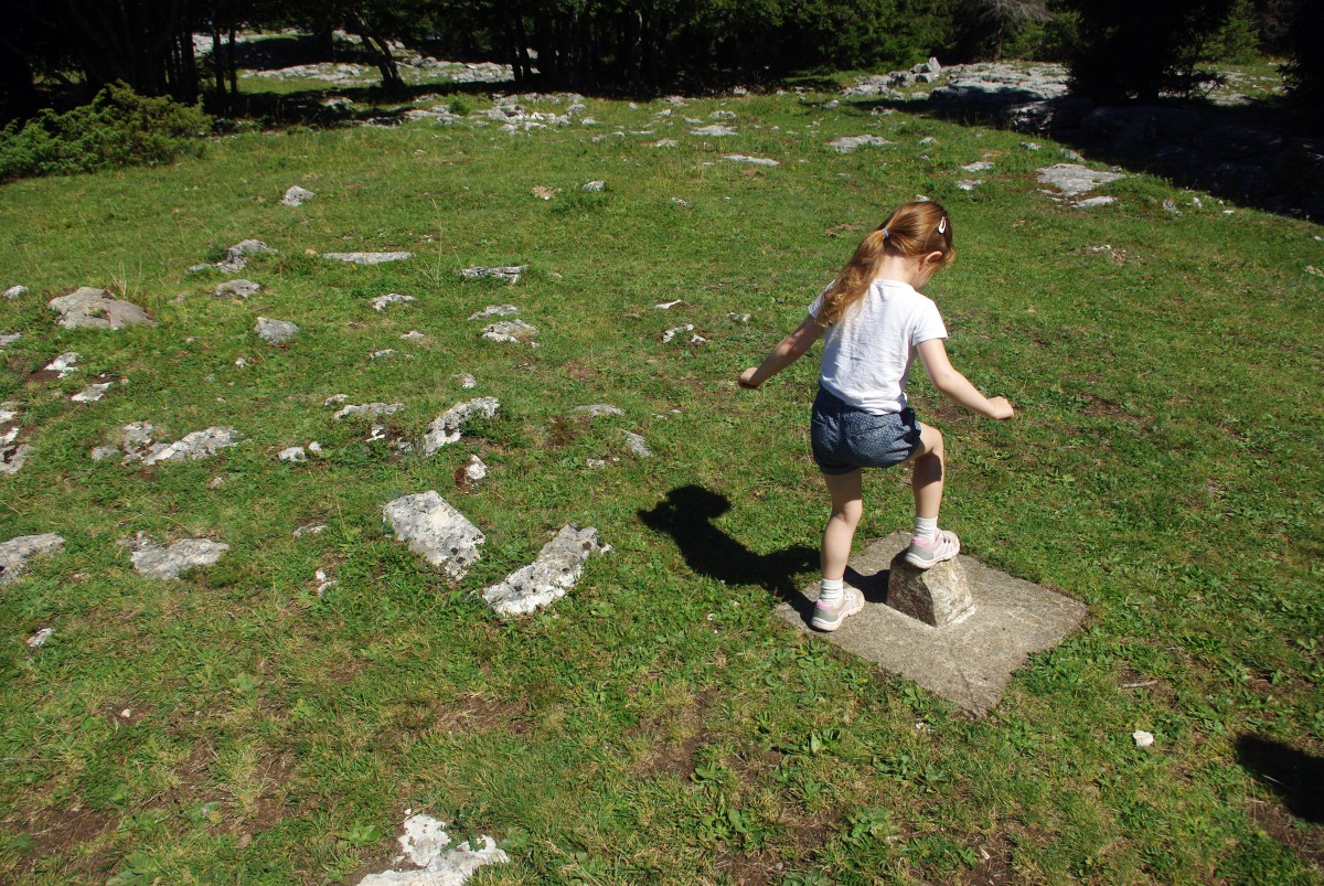
Walk carefully to the Bastian tower near the edge of the cliff across the lapiaz (a sort of limestone pavement with cracks). The Bastian tower is a former watchtower. Also known as the Piton tower, it was built between 1820 and 1830 by Claude-François Bastian. It replaced an older lookout post set up there in the 14th century. Legend has it that Claude François Bastian chose this place to build his tower because it was the only vantage point where he could see all his properties (4 castles and 37 farms!).
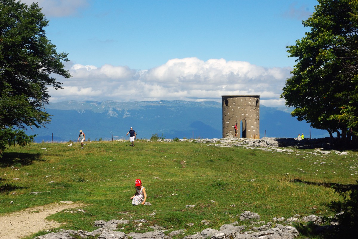
The tower was later abandoned and in a dilapidated state until it was restored in 1984 by the municipality of Beaumont. Be cautious (particularly with children) as the tower is situated just on the cliff’s edge.
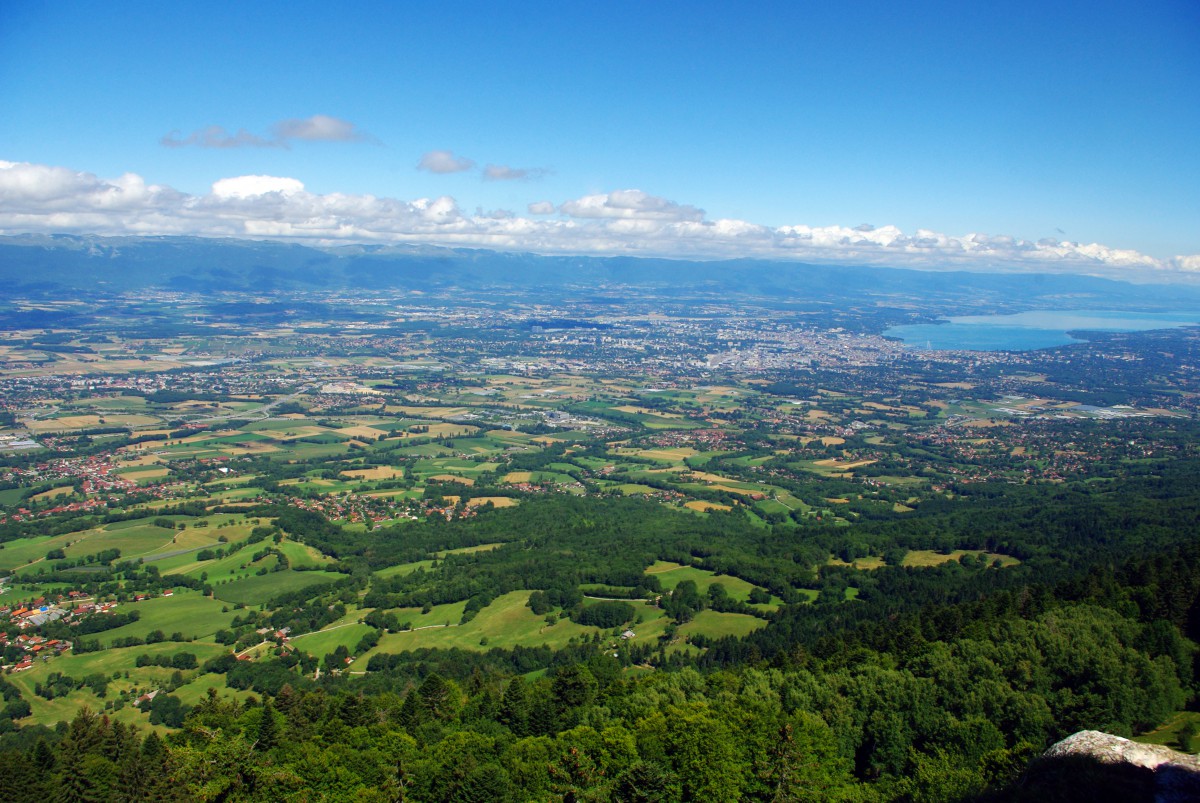
Walk down the same path to reach the car park. Continue driving towards the hamlet of La Croisette. You will enjoy panoramic views along the ridge, from the Alps to the Jura.
La Croisette
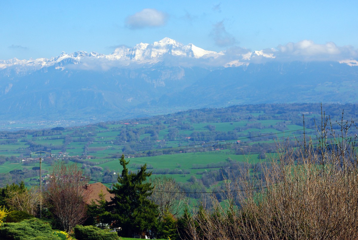
La Croisette is a mountain pass at an altitude of 1,175 metres. This is also the name of a hamlet comprising a few restaurants. La Croisette is reached by the D45 road that ascends from Collonges-sous-Salève. The D48 goes down to the Bornes Plateau and La Muraz.
Around the telecom tower
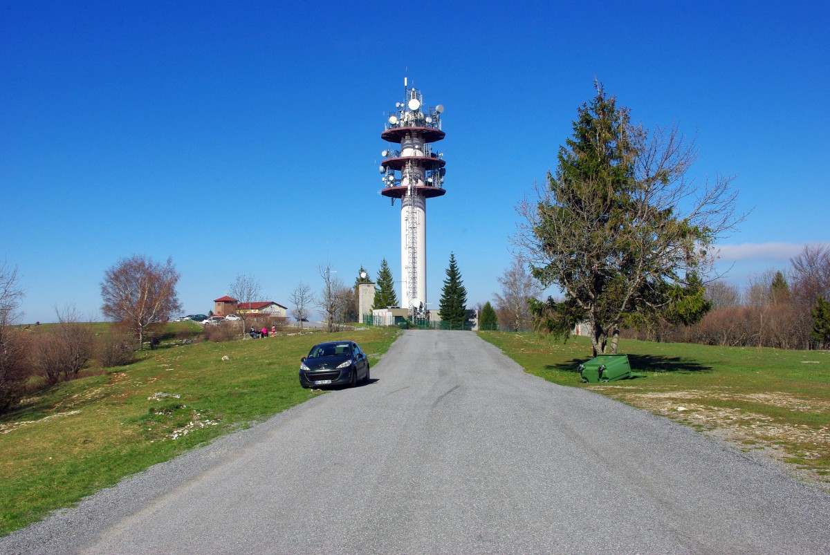
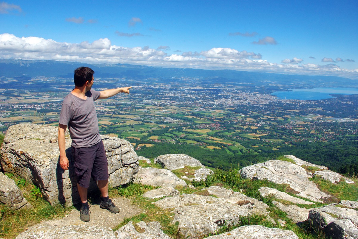
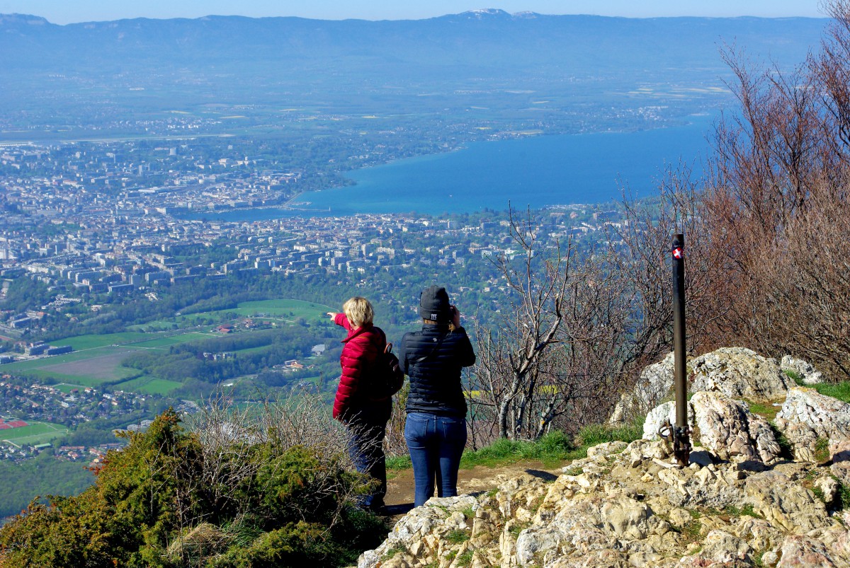
Keep driving the ridge road (D41A) and park the car by the telecom tower (alt. 1,246 m). You can walk to the cliff’s edge and contemplate a fine view of Geneva, the lake and the Monts Jura in the distance.
The Salève cable-car
Back to the car – next stop: the cable car station. The Salève cable car (téléphérique du Salève in French) has been operating since 1932 and was rebuilt in 1983. The cable car is open from April to October. It is only closed in nasty weather.
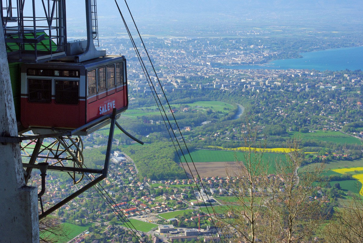
It takes approximately 15 minutes to climb to an altitude of 1,097 metres. The base station is located at Route du Téléphérique, 74100 Etrembières (France). For more info, visit the official website. You’ll get the finest view of Geneva, its suburbs and the lake from the cable car station.
Going down by the Monnetier Valley
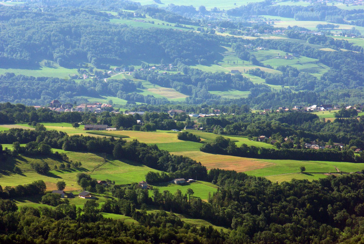
Now it’s time to go down to the Bornes plateau. The D41A leads you to the delightful valley of Monnetier before reaching Mornex. From there, you can either get to Annemasse and Geneva or Cruseilles by the D15. The later road follows the foot of the Salève over 20 km across a beautiful patchwork of meadows, fields, orchards and woods.
10 facts about the Salève mountain
- A prehistoric shelter was found on a cliff near Veyrier. Bones, flint and engraved wood were found in various parts of the mountains. An oppidum was built on the Petit Salève around 1000 BC, known as Camp des Allobroges.
- The name of the mountain derives from the Latin word salire and saliens meaning “jump up, spurt up or spring up”, referring to a rocky promontory. In the 4th century, the mountain was known as Monte Seleuco. In the 13th century, it took its current name: Mont Salevus.
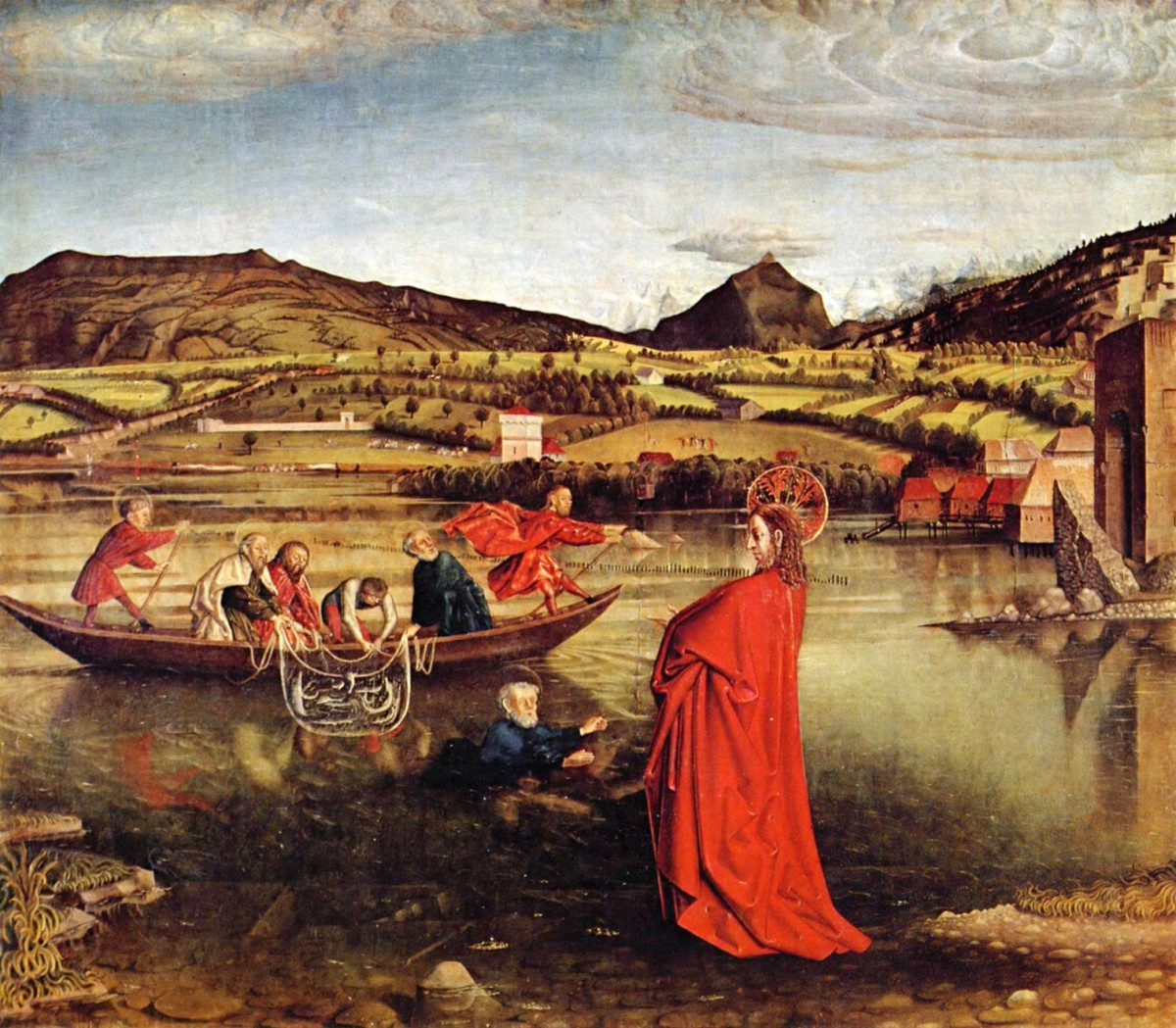
- The Salève and Lake Geneva are featured on La Pêche Miraculeuse (1444) by German-born painter Konrad Witz, the first European paintings representing a realistic landscape. The painting shows the Voirons mountain to the left, the Môle in the centre and the Petit-Salève to the right.
- Chapter 7 in Mary Shelley’s novel Frankenstein takes place in the Salève. The creature climbs up the mountain.
- The first electric railway in the world was built to reach the top of the Salève mountain in 1892. The service ceased in 1932.
- When you marvel at the view from the summit, you understand why the Salève mountain was nicknamed the Balcony of Geneva. The vista of the Swiss city is breathtaking as you can spot the main buildings and monuments.
- Although the Salève is a mountain of the Prealps, it is geologically a part of the Jura chain.
- The Salève has hosted the Tour de France cycle race four times: in 1973, 1974, 1981 and 1992.
- Four French motorways surround the Salève: the A40, the A41 and the A410.
- Several species of animals inhabit the Salève: wild boars, badgers, roe deer and even chamois. The wolf was also observed and filmed for the first time on the Salève in March and April 2012. Finally, there are indications that the lynx is present.
Practical info for your visit
Here is some additional information to prepare for your discovery of the mountain.
Where to stay
There are several accommodation options around the Salève. The main localities are Cruseilles and Annemasse.
Click on this link to find accommodation options in the town of Annemasse, or browse the map below:
How to access the Salève
Access to the Salève is possible by car, cable car and on foot. The mountain is surrounded by three motorways: A40, A41 and A410.
My favourite itinerary (see above) starts at Cruseilles. But you can also access the ridge of the Salève from Etrembières (East of Geneva) or Collonges-sous-Salève (D45). Both routes are pretty steep and narrow… which is why I prefer climbing the mountain by the D41A from Cruseilles!
The D41A road that follows the mountain ridge offers spectacular views of both the Alps and the Jura. From autumn to spring, it is not rare that the road is in the sunshine above a sea of clouds.
Pin it on Pinterest
Did you enjoy this article? If so, share it on Facebook, Twitter or Pinterest!
More photos
I took this selection of photos at different seasons of the year.
The Mountain
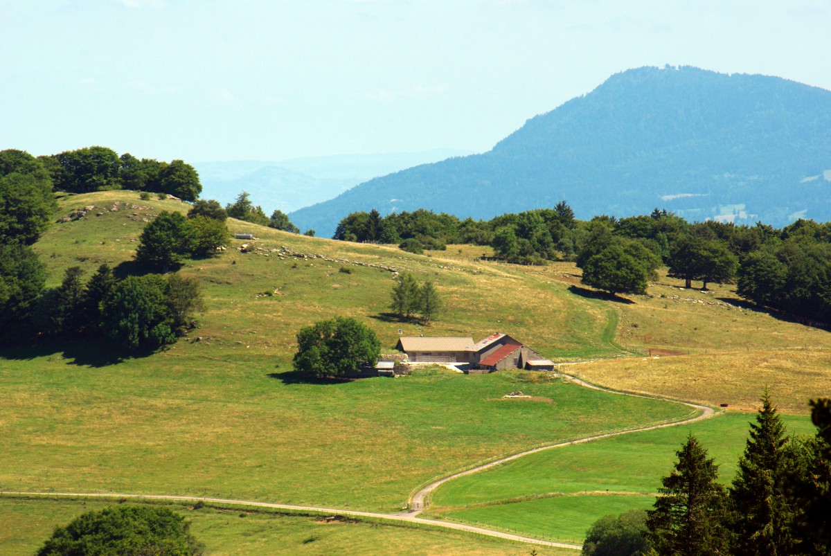

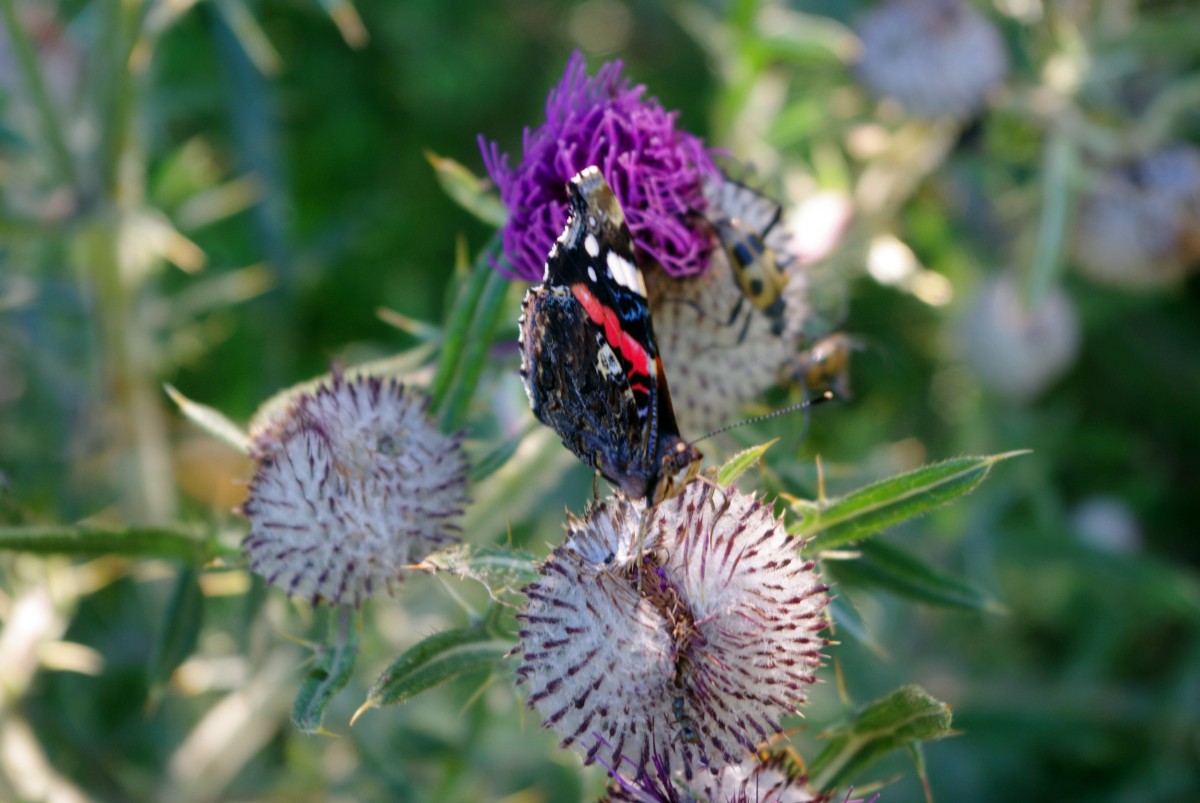
Views of Geneva, Lake Geneva and the Jura
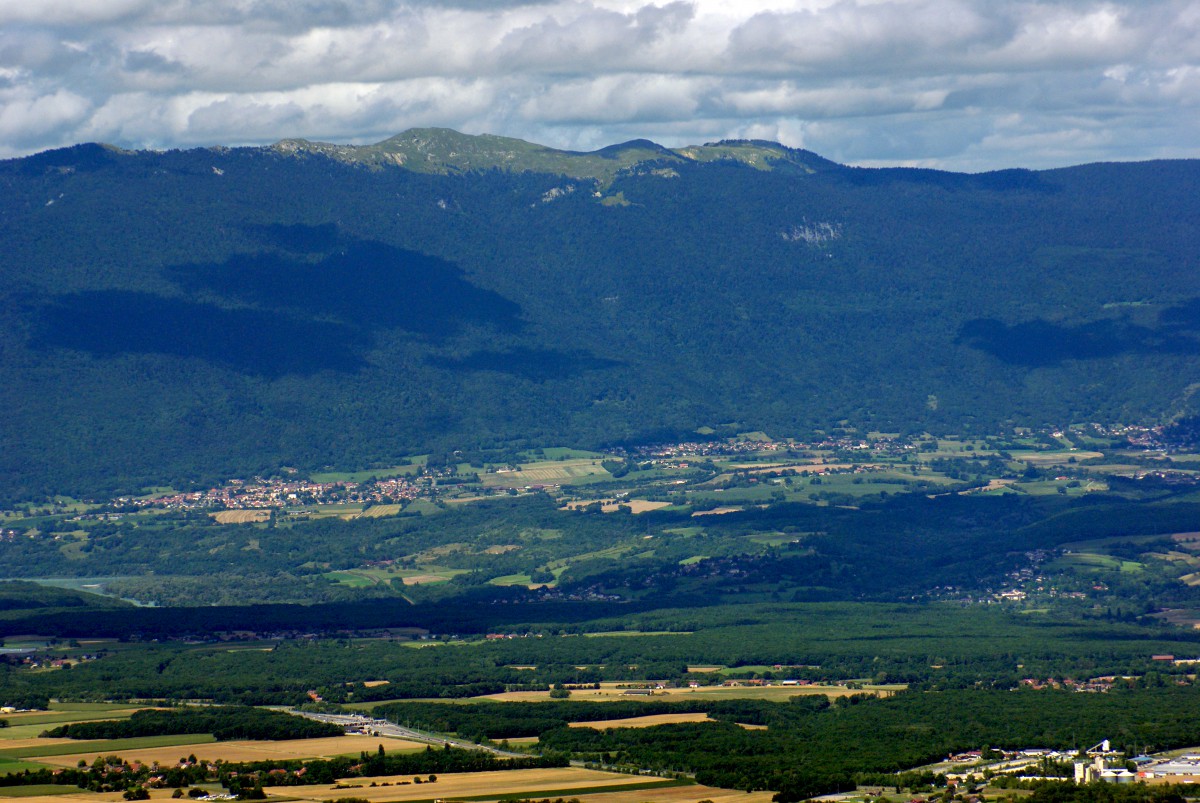
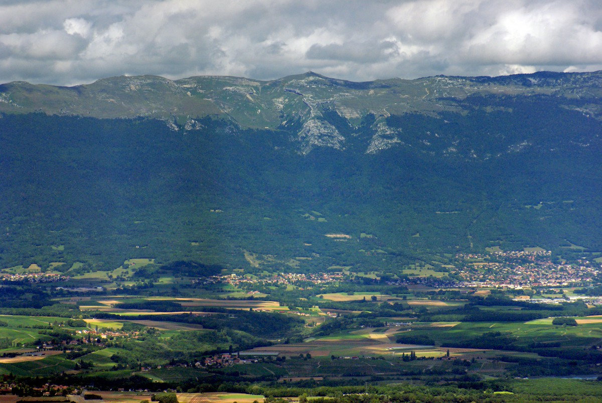
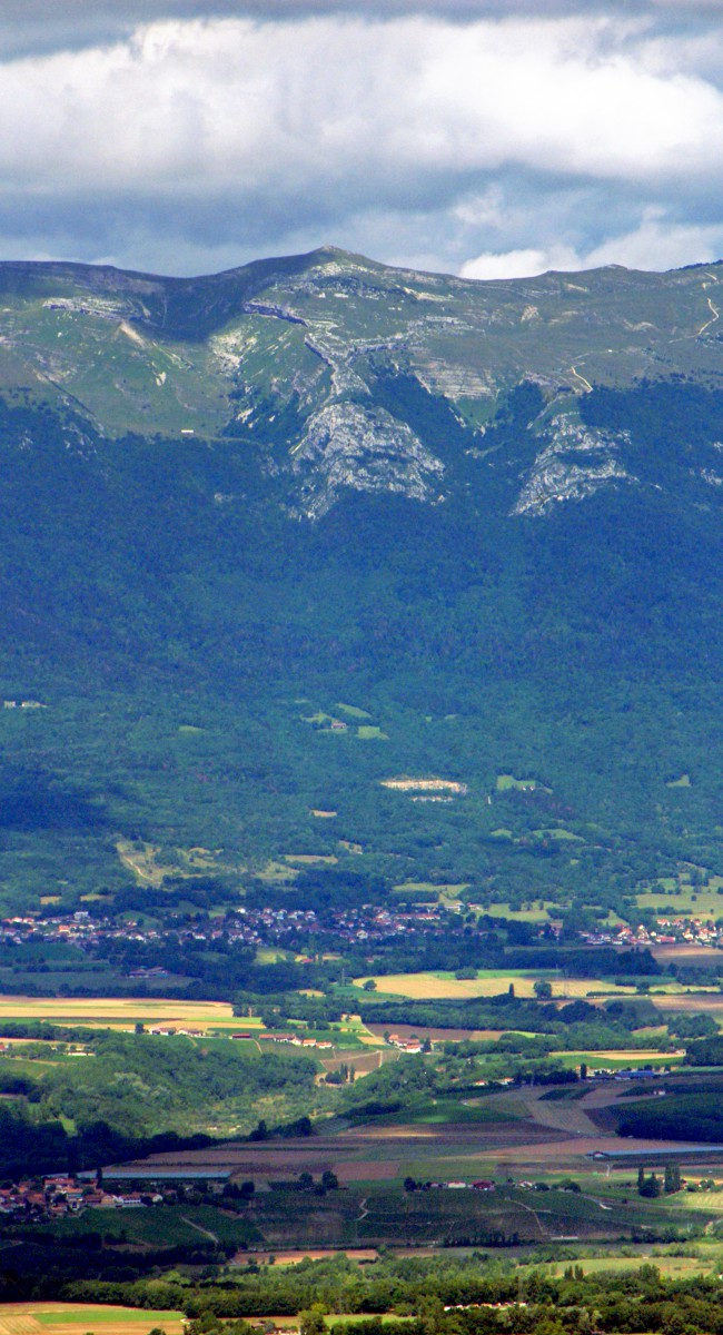


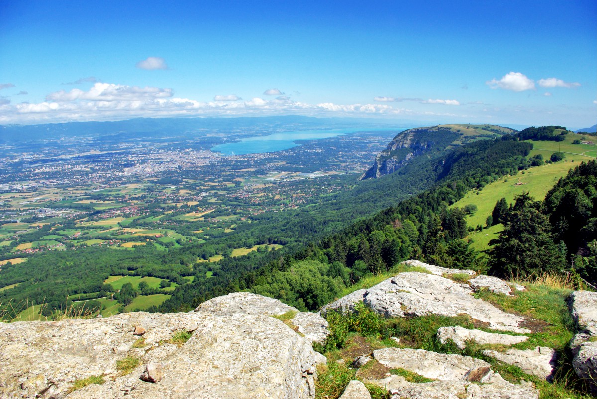
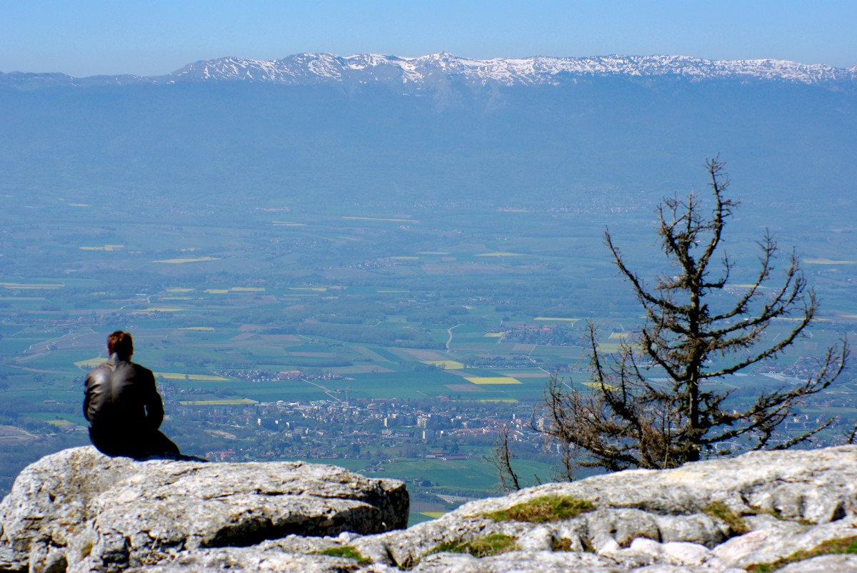
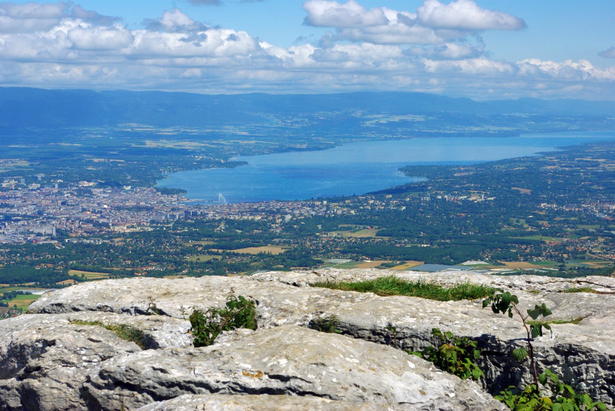
Views of Mont Blanc and the Alps

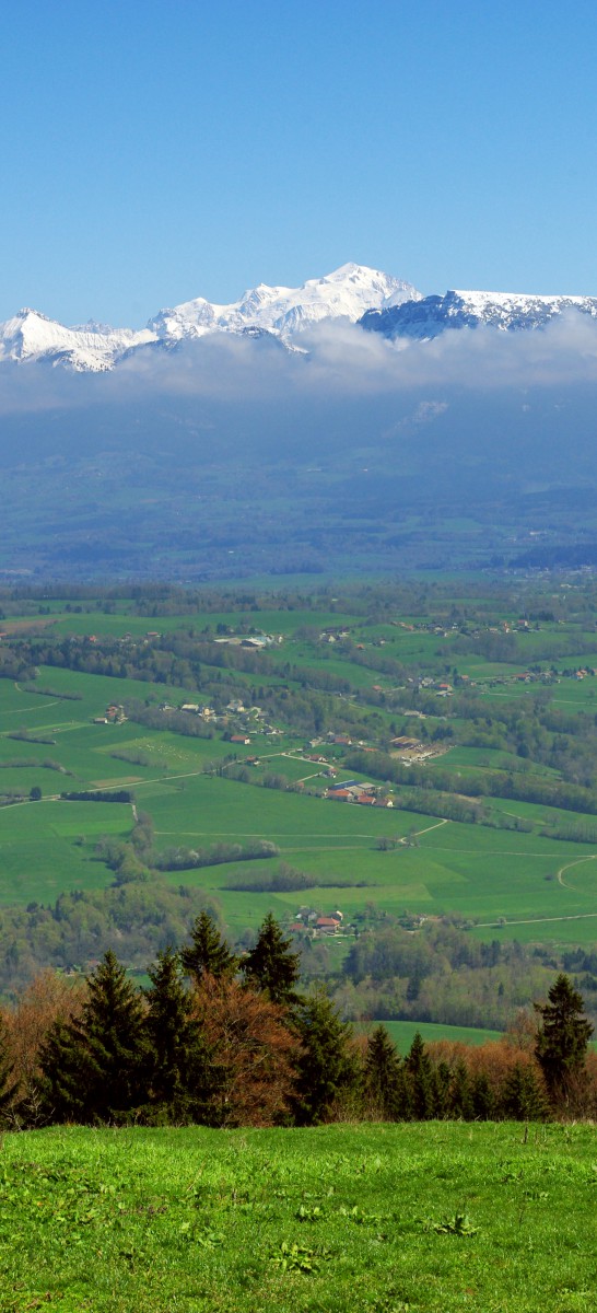
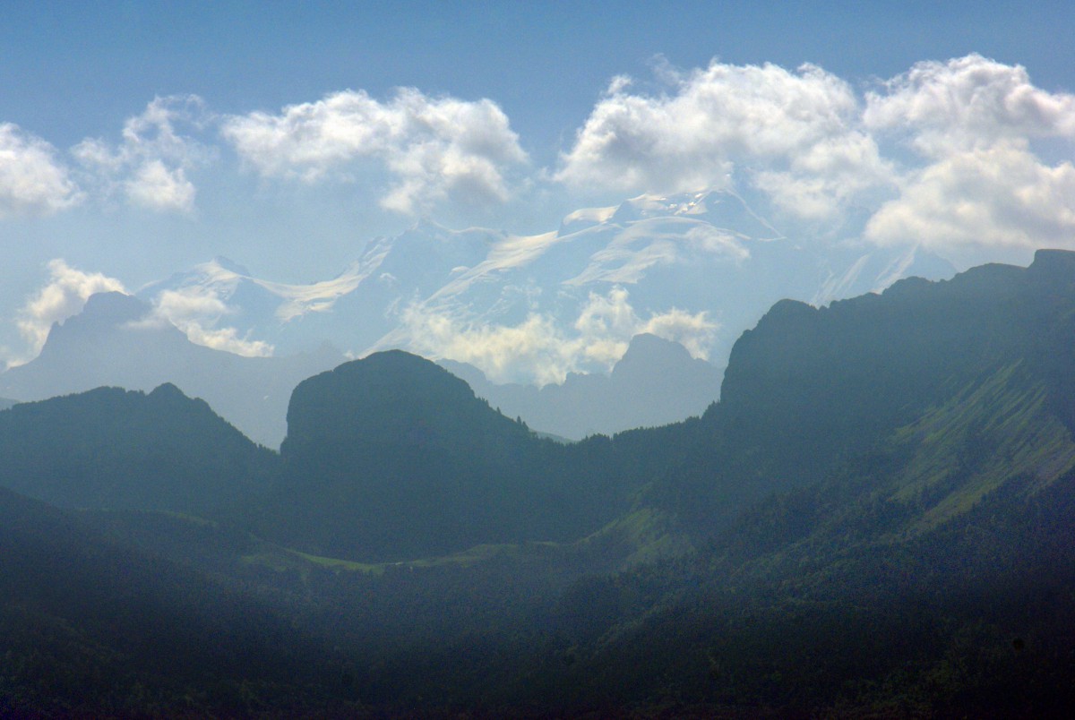
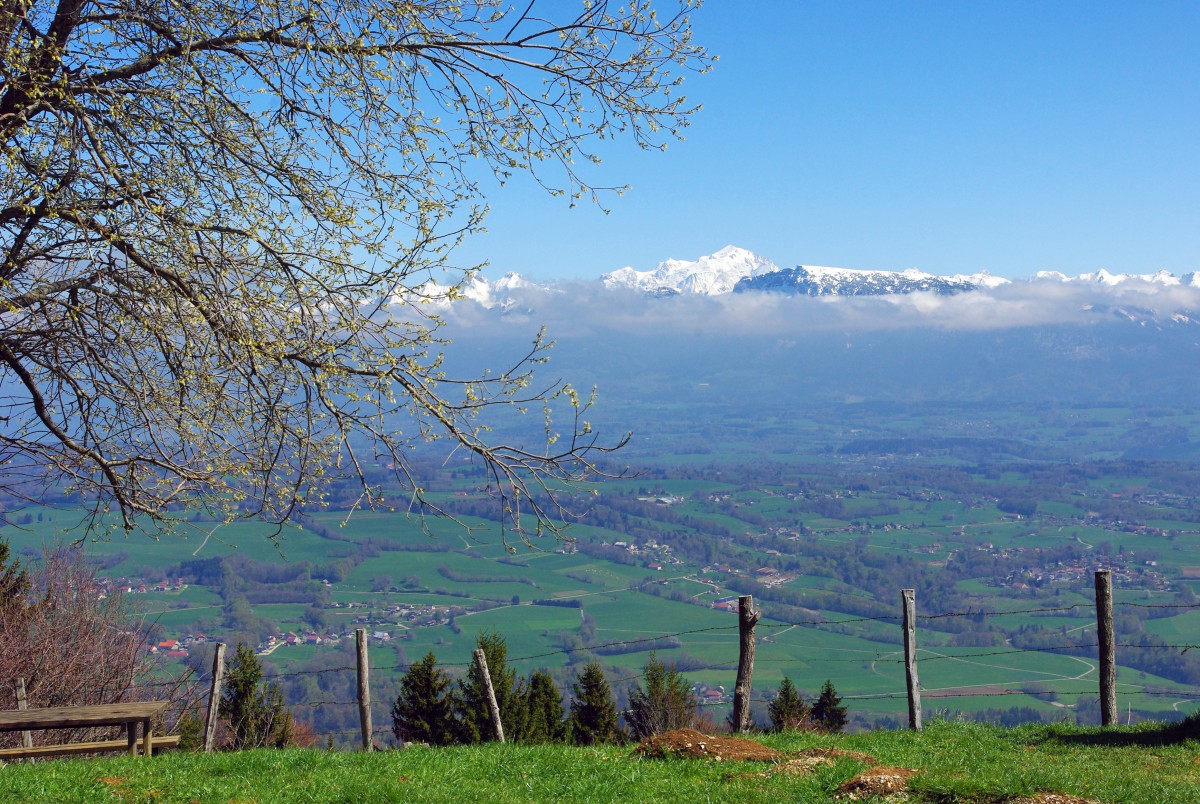
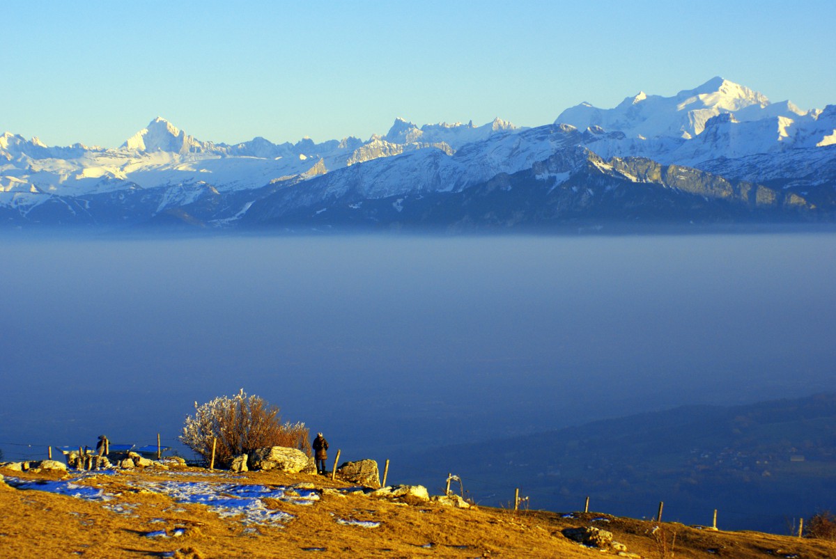
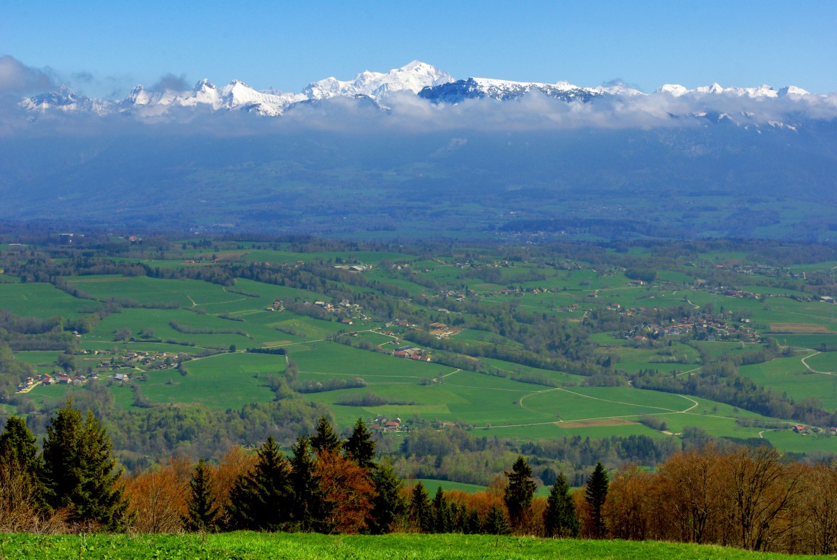
Views of Plateau des Bornes and Lake Annecy
