My family and friends know how much I love maps. When I visited for the first time the Relief Map museum in Paris, I was blown away by Louis XIV’s collection of historical military models. It just looked like a 17th C version of Google Earth! Here is a quick guide of the musée des plans-reliefs situated in the Hôtel des Invalides (7th arrondissement of Paris).
The Relief Map museum
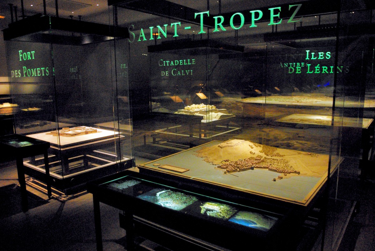
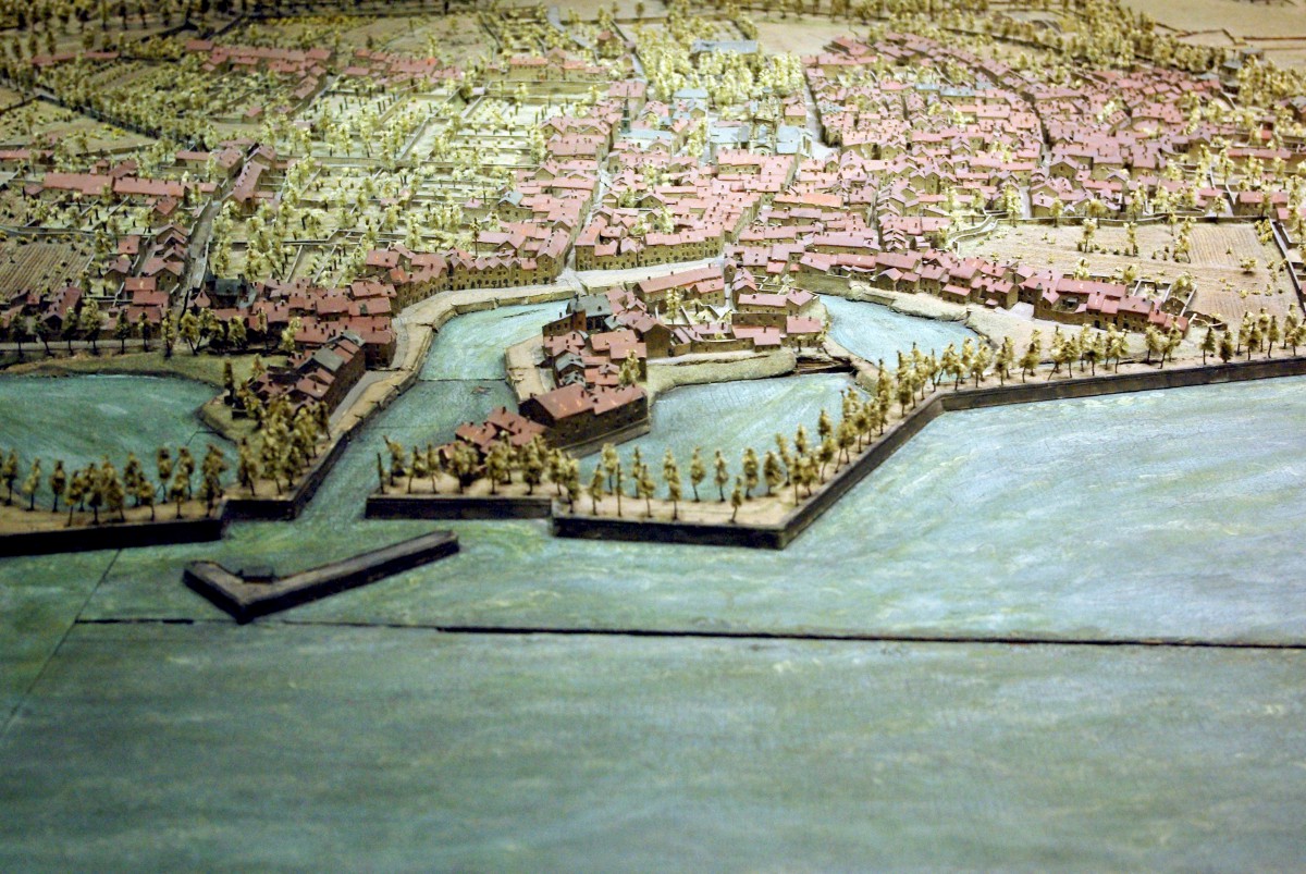
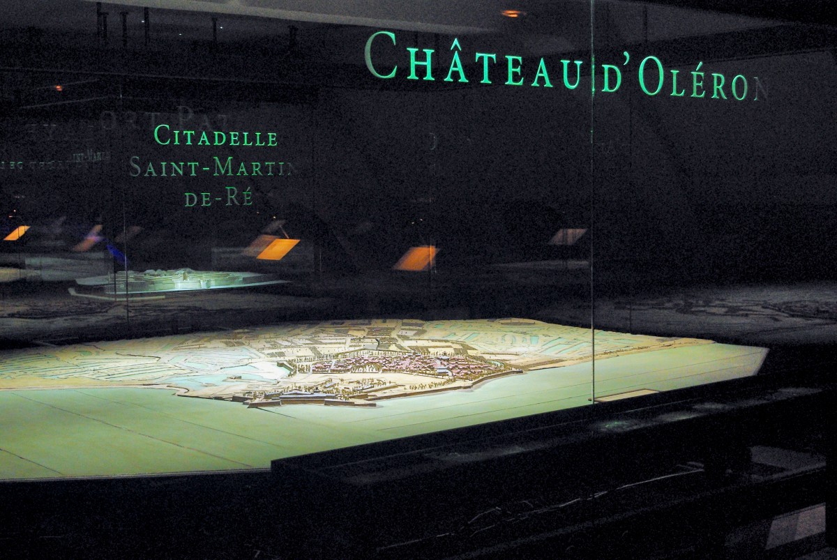
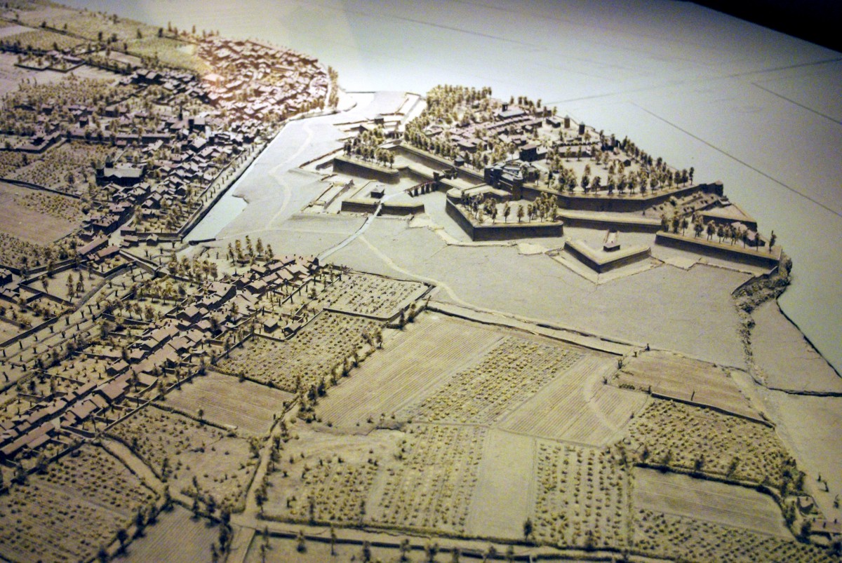
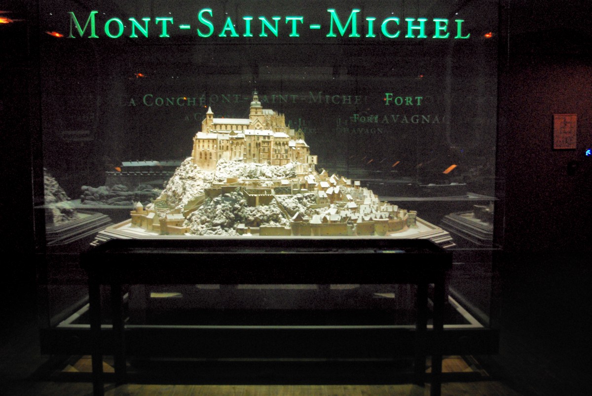
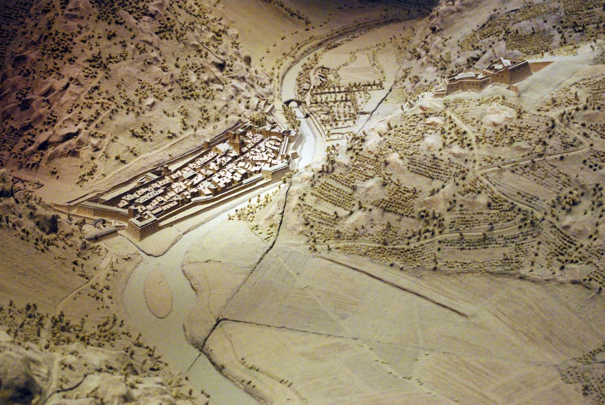
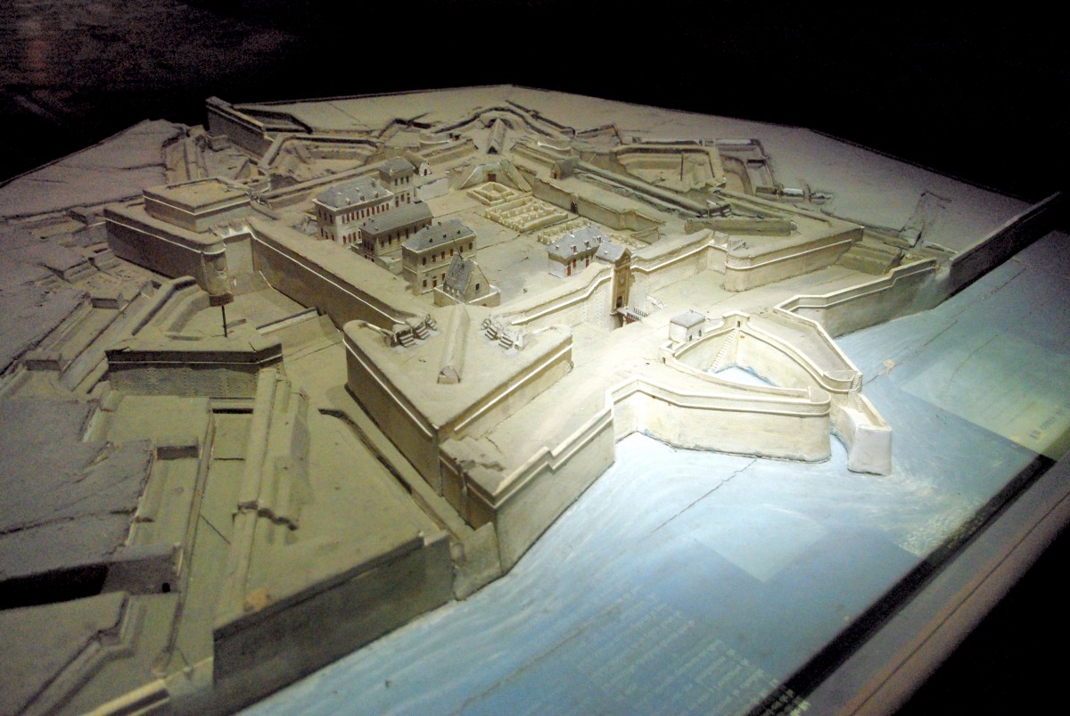
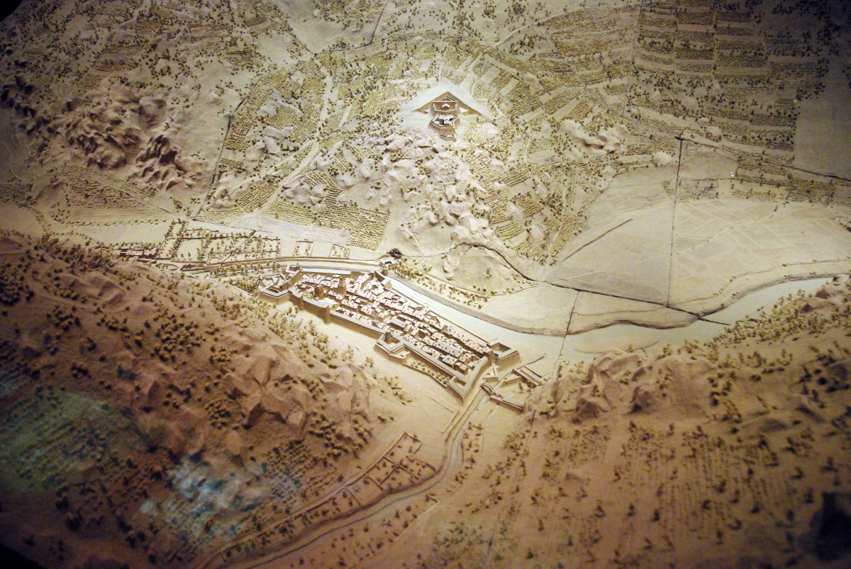
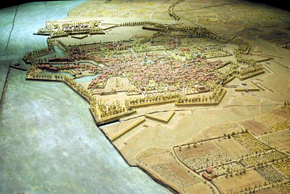
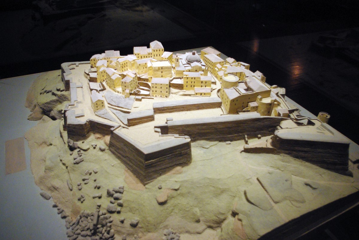
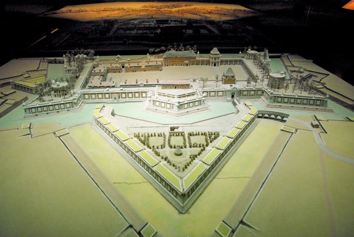
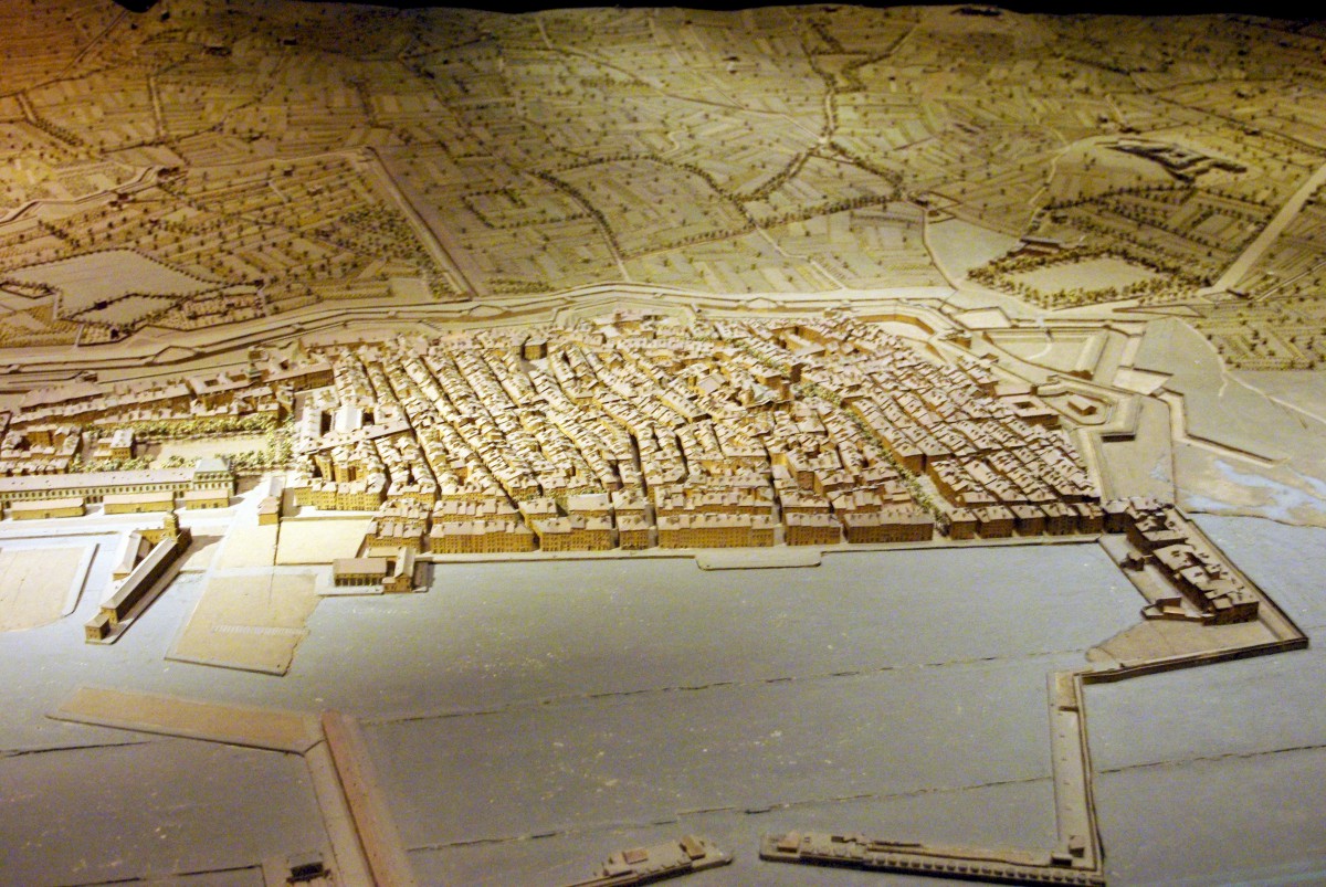
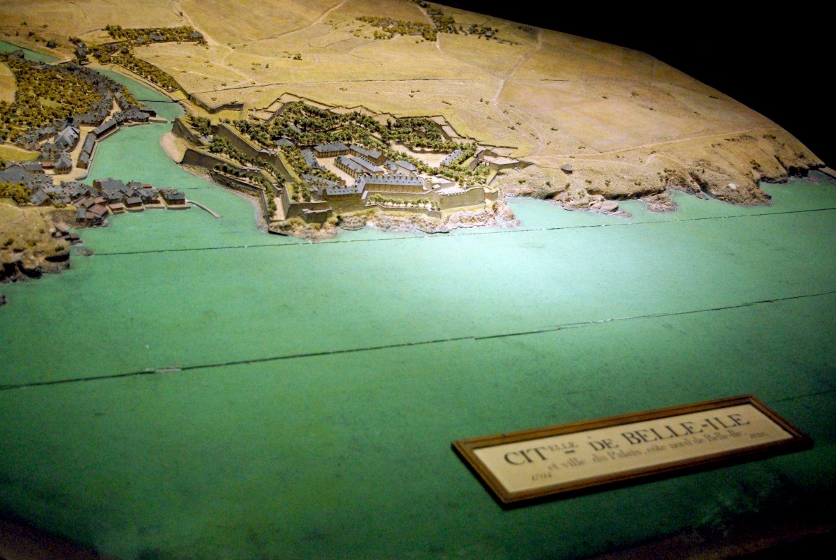
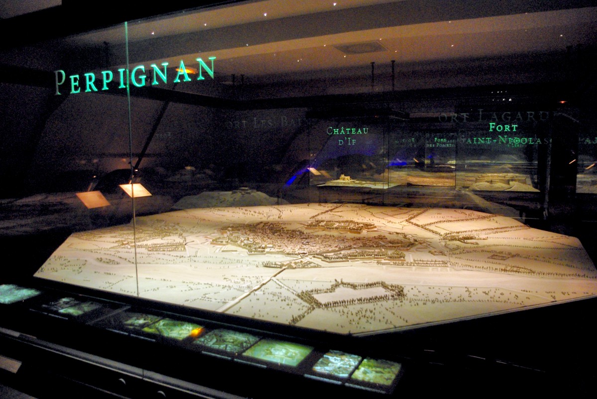
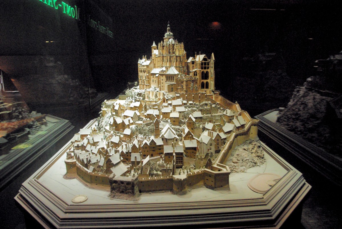
This is a royal and unique collection of maps, comprising scale models of towns, harbours and fortresses.
It was Louvois, Louis XIV’s Minister of War who took the initiative to make scale-models (1:600) of fortified sites. At that time Vauban directed the building and upgrading of hundreds of fortifications throughout the kingdom.
>> Get your Tickets for Les Invalides: the Army Museum [Priority Entrance], Napoleon’s tomb and see war memorabilia! <<
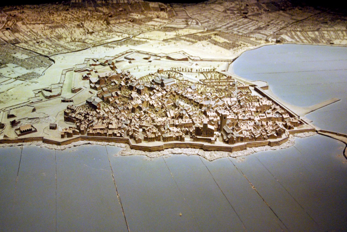
Just look at the many details reproduced on the maps: they give an accurate illustration of the sites at a given date. The maps allowed for simulating sieges and/or to plan for fortification improvements.
At a time when Google Earth did not exist (!) these maps played a strategic role for the defence of the French territory, particularly on its borders.

The collection was originally kept in the Tuileries Palace, then in the Grande Galerie at the Louvre. In 1777 the relief maps were transferred to the attics of Les Invalides. Some 260 relief maps were created between 1668 and 1870. The making of such maps ceased when no more bastioned fortifications were built.
The collection of the Relief Map museum
The Relief Map museum has 28 relief models on display out of a collection of 100 maps.
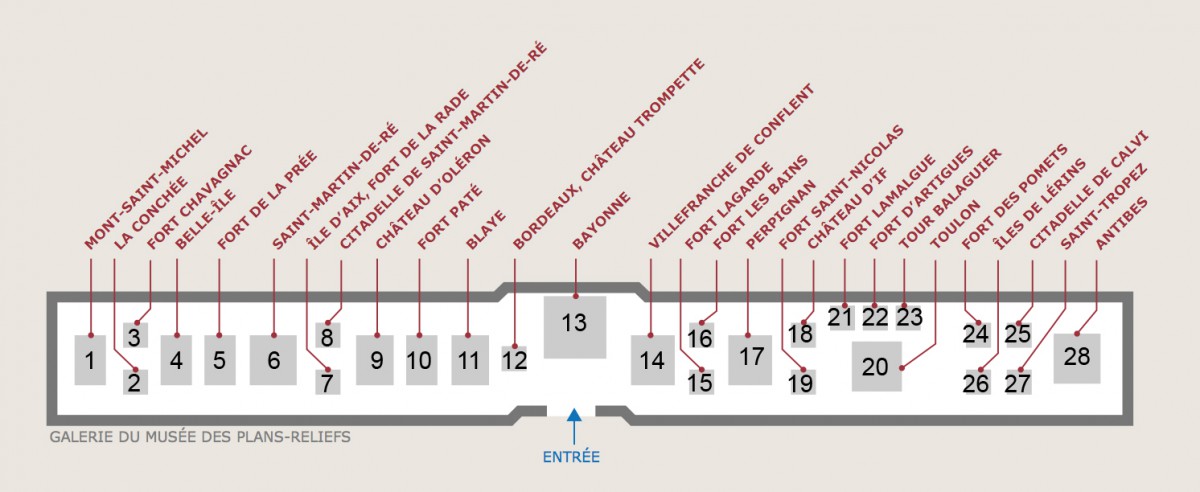
| THE RELIEF MAPS ON DISPLAY AT THE MUSEUM | ||||
| THE ENGLISH CHANNEL Construction time, scale & dimension | ||||
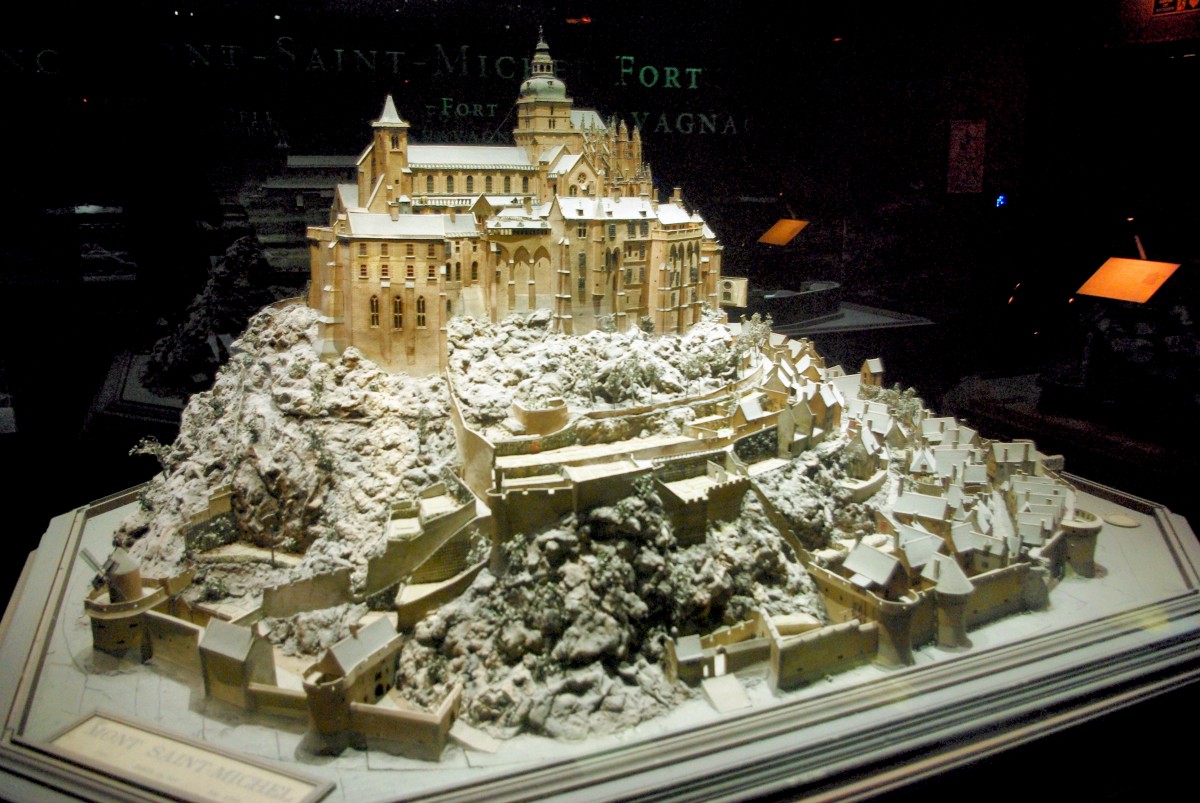
| 1 | Mont Saint-Michel | 1701 | 1:144 | 2.30×1.66m |
| 2 | La Conchée, Saint-Malo | 1695 | 1:72 | 2.09×1.59m |
| 3 | Fort Chavagnac, Cherbourg | 1866-1867 | 1:100 | 1,53 x 1,22 m |
| THE ATLANTIC COAST | ||||
| 4 | Belle-Île | after 1762 | 1:600 | 2,43 x 2,43 m |
| 5 | Fort de la Prée | 1703 | 1:600 | 2,40 x 1,72 m |
| 6 | Saint-Martin-de-Ré | 1703 | 1:600 | 5,36 x 3,73 m |
| 7 | Fort de la Rade, Île d’Aix | 1780 | 1:720 | 132 x 120 cm |
| 8 | Citadel of Saint-Martin-de-Ré | 1827 | 1:200 | 1,56 x 1,50 m |
| 9 | Île d’Oléron | 1703 | 1:600 | 4,56 x 3,59 m |
| 10 | Fort Pâté, Blaye | 1703 | 1:187 | 1,67 x 1,32 m |
| 11 | Blaye | 1703 | 1:600 | 4,06 x 3,16 m |
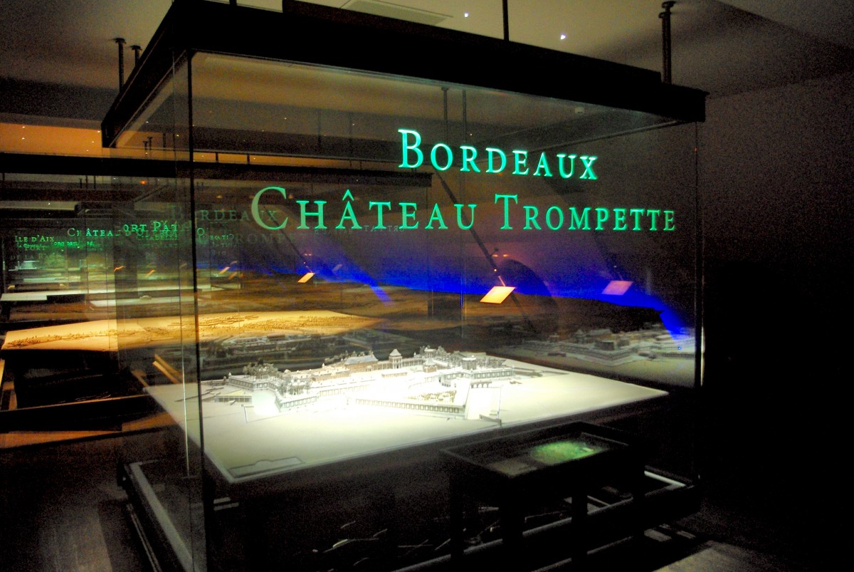
| 12 | Château-Trompette, Bordeaux | 1705 | 1:200 | 2,26 x 2,00 m |
| 13 | Bayonne | 1819-1822 | 1:600 | 6,62 x 8,52 m |
| THE PYRENEES | ||||
| 14 | Villefranche-de-Conflent | 1701 | 1:600 | 4,20 x 3,25 m |
| 15 | Fort Lagarde | 1691 | 1:600 | 1,67 x 1,05 m |
| 16 | Fort les Bains | 1691 | 1:600 | 1,62 x 1,12 m |
| 17 | Perpignan | 1686 | 1:600 | 4,86 x 4,63 m |
| THE MEDITERRANEAN COAST | ||||
| 18 | Château d’If, Marseille | 1681 | 1:95 | 1,58 x 1,39 m |
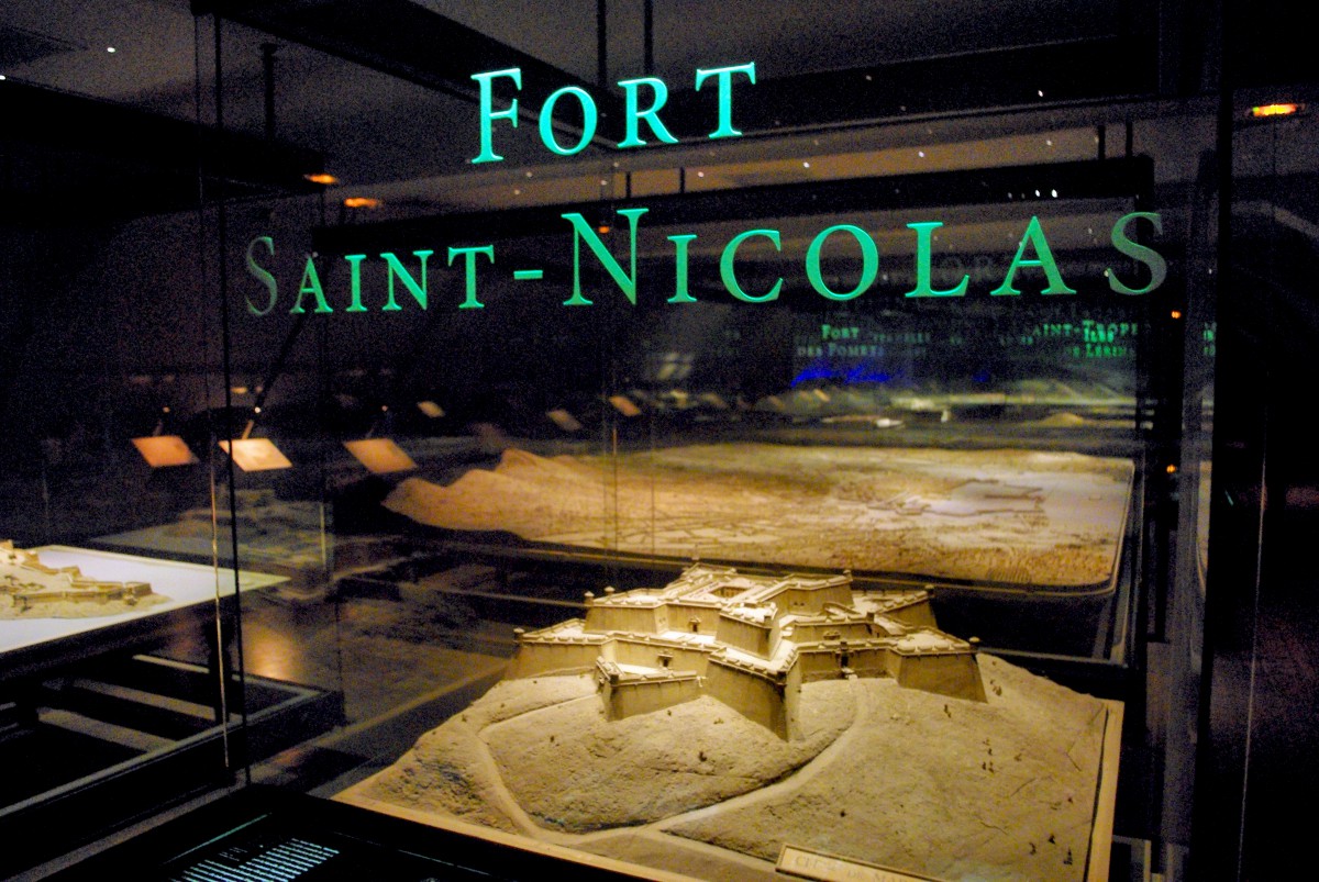
| 19 | Fort Saint-Nicolas, Marseille | c.1754 | 1:183 | 1,45 x 1,33 m |
| 20 | Toulon | 1796-1800 | 1:600 | 6,61 x 4,26 m |
| 21 | Fort Lamalgue, Toulon | 1800 | 1:300 | 0,49 x 0,41 m |
| 22 | Fort d’Artigues, Toulon | 1800 | 1:216 | 0,49 x 0,41 m |
| 23 | Tour Balaguier, Toulon | 1800 | 1:216 | 0,49 x 0,41 m |
| 24 | Fort des Pomets, Toulon | c.1750 | 1:144 | 1,13 x 1,07 m |
| 25 | Citadel of Calvi | 1887 | 1:600 | 1,43 x 1,42 m |
| 26 | Îles de Lérins | 1728 | 1:2200 | 1,61 x 1,40 m |
| 27 | Saint-Tropez | 1716 | 1:600 | 1,58 x 1,40 m |
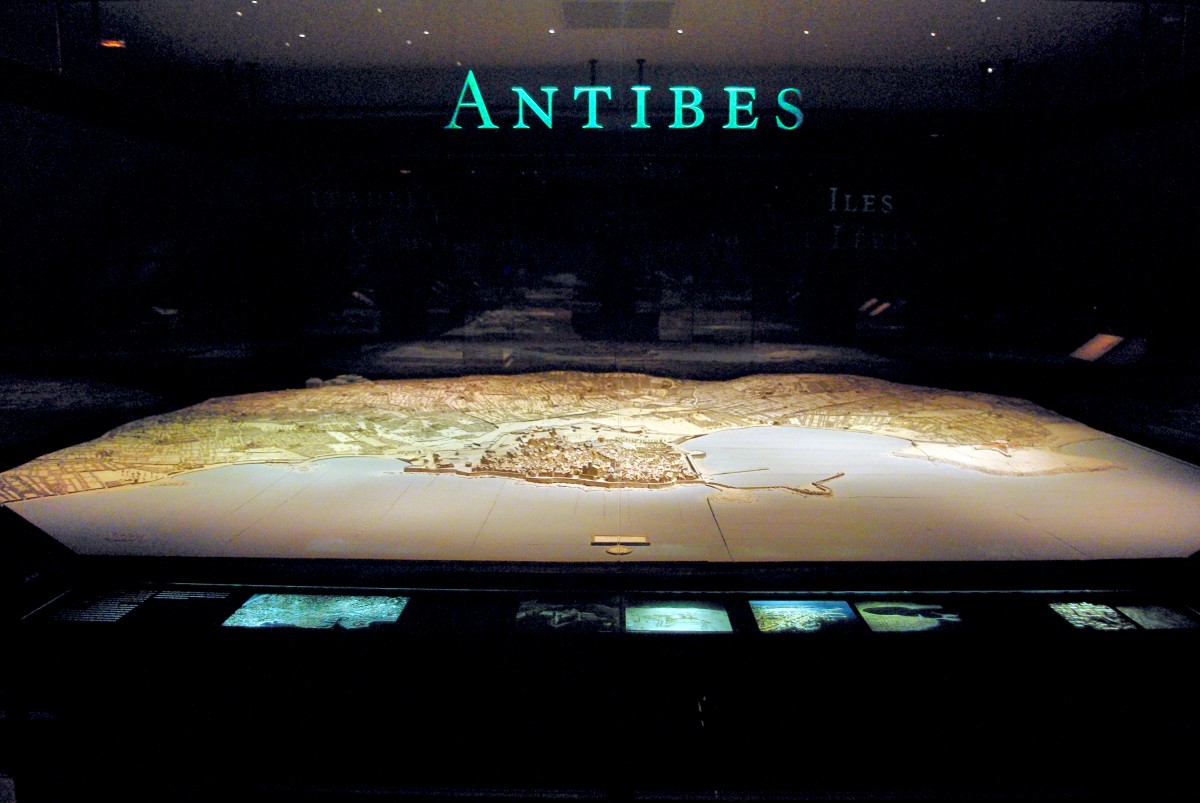
| 28 | Antibes | 1754 | 1:600 | 4,77 x 3, 55 m |
The collection was listed as a historic monument in 1927 and the museum created in 1943.
Relief Map museum: Practical Info
- Les Invalides has two entrances: Esplanade des Invalides, 129 rue de Grenelle AND Place Vauban. Visitors with motor disabilities are invited to enter on the Place Vauban side. Check out google map for the exact location of the Relief Map museum at Les Invalides.
- Open every day from 10 am to 6 pm from 1st April to 30th September and from 10am to 5pm from 1st October to 31st March.
- The museum is closed on 1st January, 1st May and 25th December, and on the first Mondays of the month from January to June and from October to December.
- Closest métro stations: Invalides (lines 8 and 13, RER C), La Tour Maubourg (line 8), Varenne (line 13).
- Check out the official website of the Relief Map museum for more info (only in French). You can download the English version of the Museum’s presentation brochure here.
- The entry ticket to the Relief Map museum gives you access to all museums located in the complex of Les Invalides: the Army museum, the Order of Liberation museum and Napoleon’s Tomb. You can buy your tickets (priority entrance) by clicking on the following link:
>> Get your Tickets for Les Invalides: the Army Museum [Priority Entrance], Napoleon’s tomb and see war memorabilia! <<
Did you like what you read? If so, share it on Facebook, twitter or Pinterest! 🙂

