
The great mountain passes in the French Alps played a great part in the mountain range’s history, from the Roman era to the Middle-Ages and from the Napoleonic Wars to the heroic Resistance during World War 2.
Alpine mountain passes: a bit of history
Alpine passes played a great part in the mountain’s history, from the ancient times when the Romans used them to conquer the regions beyond. In the Western Alps, their troops and trading merchants used the Col de l’Argentière, the Col de Montgenèvre, and the two St Bernard passes (Little St Bernard Pass and Great St. Bernard Pass).
Before 1800, only a few passes in the Alps had carriage roads laid out to make travel easier (the Semmering, the Brenner, the Col de Tende and the Arlberg). In the 19th century, most of the carriage roads crossing the great alpine passes were constructed mainly to facilitate the moving of Napoleon’s army.
With the arrival of the railway, many passes were avoided by the digging of many tunnels to speed travel between the great cities of Europe. Between France and Italy, two tunnels were constructed: Fréjus Rail Tunnel (13.7 km) and Tende Tunnel (8.1 km). A third one long of 57 km is planned and should be used by the Lyon-Turin TGV between Saint-Jean-de-Maurienne and Susa.
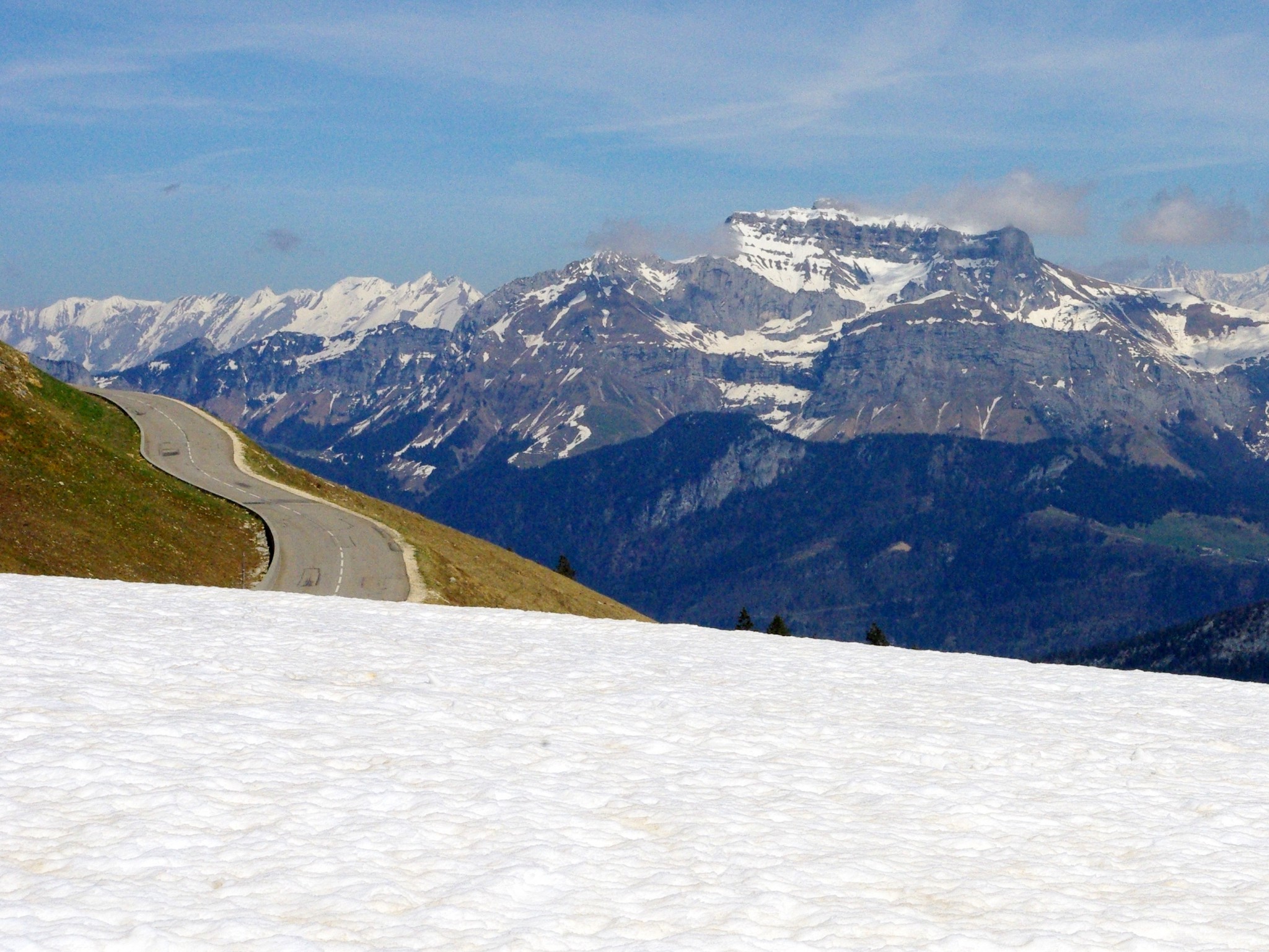
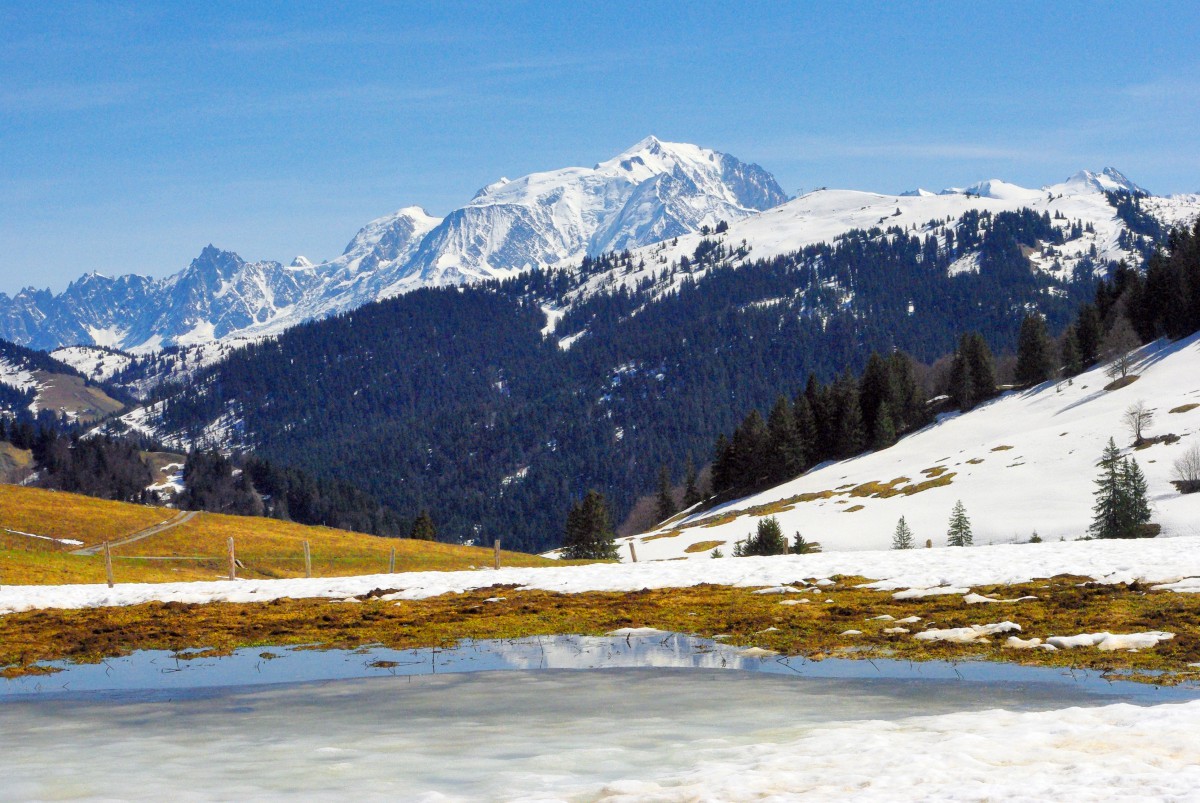
The 30 highest road mountain passes of the French Alps
There are many mountain passes linking valleys or countries with altitudes greater than 1,000 metres. Here is the list of the 30 highest road passes in the French Alps. Most of them have been regularly climbed by the Tour de France bicycle race.
1. Col de l’Iseran (2,770 m) links Val d’Isère to Bonneval-sur-Arc.
2. Col Agnel (2,744 m) links Molines-en-Queyras to Chianale, Italy.
3. Col de la Bonette (2,715 m) links Saint-Étienne-de-Tinée to Jausiers.
4. Col du Galibier (2,645 m) links Valloire to Grenoble and Briançon.
5. Col d’Izoard (2,361 m) links Briançon to Arvieux, in Queyras.
6. Col de la Lombarde (2,350 m) links the Tinée to the Stura di Demonte valleys, in Italy.
7. Col de la Cayolle (2,326 m) links the Ubaye to the Var valleys.
8. Col d’Allos (2,250 m) links Barcelonnette to Colmars.
9. Col du Petit-Saint-Bernard (2,188 m) links Bourg Saint-Maurice to Aosta in Italy.
10. Col de Vars (2,111 m) links the Ubaye Valley to Queyras.
11. Col du Mont-Cenis (2,083 m) links Lanslebourg-Mont-Cenis to Susa in Italy.
12. Col de la Croix-de-Fer (2,067 m) links Saint-Jean-de-Maurienne to Bourg-d’Oisans.
13. Col du Lautaret (2,058 m) links Grenoble to Briançon.
14. Col de la Madeleine (1,993 m) links La Léchère to La Chambre near Saint-Jean-de-Maurienne.
15. Col de Larche (1,991 m) separates the Ubaye to the Mercantour-Argentera massifs.
16. Cormet de Roselend (1,968 m) links Beaufort-sur-Doron to Bourg-Saint-Maurice.
17. Col du Glandon (1,924 m) links Saint-Jean-de-Maurienne to Bourg-d’Oisans.
18. Col de Tende (1,871 m) links Tende to Coni in Italy.
19. Col du Montgenèvre (1,850 m) links Briançon to Cesana Torinese in Italy.
![Montgenèvre © Omonchic - licence [CC BY-SA 3.0] from Wikimedia Commons](https://frenchmoments.eu/wp-content/uploads/2020/09/Montgenèvre-©-Omonchic-licence-CC-BY-SA-3.0-from-Wikimedia-Commons.jpg)
20. Col de l’Échelle (1,762 m) links Névache to Bardonèche in Italy.
21. Col de Joux Plane (1,691 m) links Samoëns to Morzine.
22. Col du Noyer (1,664 m) links the Champsaur to the Dévoluy valleys.
23. Col des Saisies (1,633 m) links the Beaufortain valley to the Val d’Arly.
24. Col de la Colombière (1,613 m) links the Grand-Bornand to the Reposoir valleys.
25. Col de la Ramaz (1,610 m) links Taninges to Mieussy.
26. Col de Turini (1,606 m) links Lantosque to Sospel.
27. Col du Télégraphe (1,566 m) links Saint-Michel-de-Maurienne to Valloire.
28. Col des Aravis (1,486 m) links La Clusaz to Flumet.
29. Col des Montets (1,461 m) links Chamonix to Vallorcine.
30. Col du Festre (1,441 m) links Veynes to the Dévoluy.
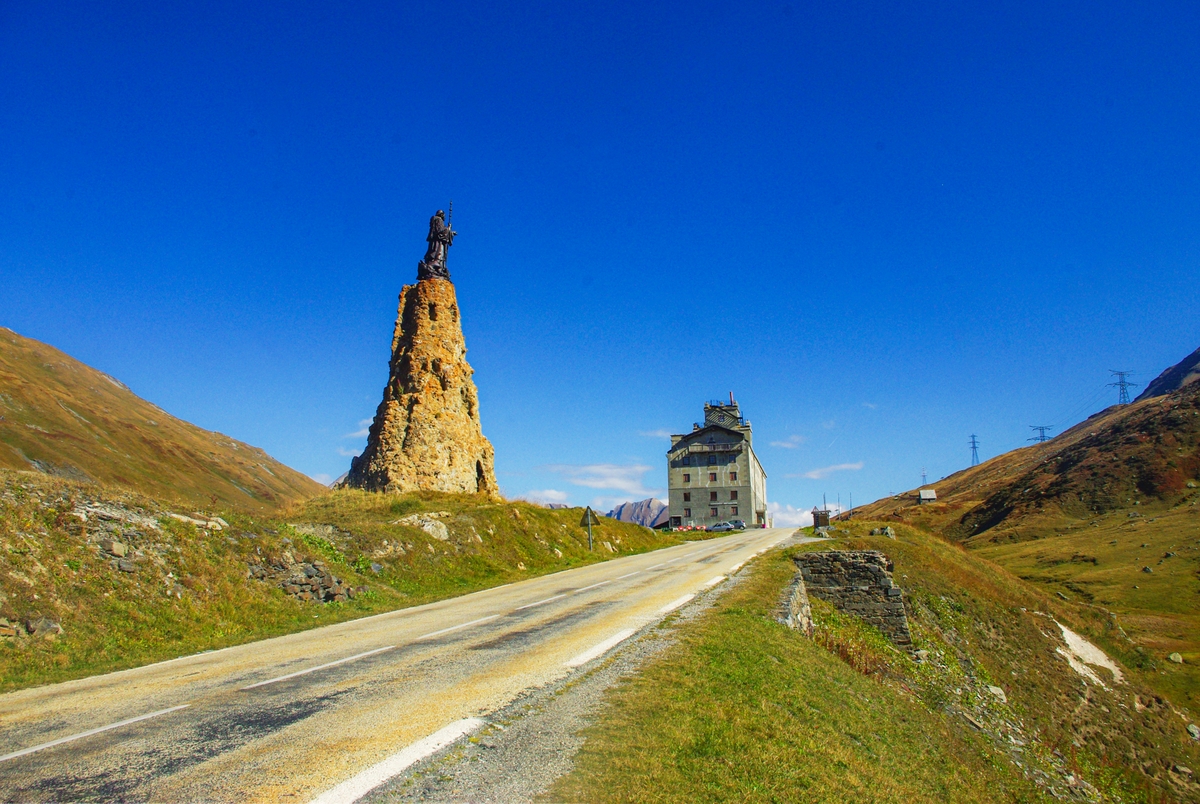
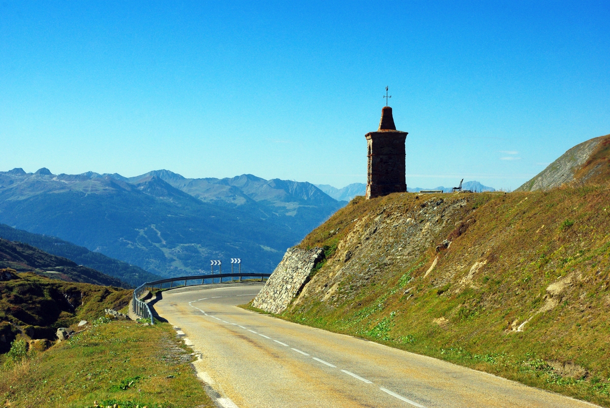
Popular non-paved alpine passes
Non-paved mountain passes are popular among hikers such as:
- Col du Joly (1,989 m). Located in the Beaufortain massif, it links Saint-Gervais-les-Bains in the département of Haute-Savoie to Villard-sur-Doron in the département of Savoie.
- Col de la Vanoise (2,522 m). It lies in the Vanoise massif and is accessible from Pralognan-la-Vanoise and Termignon via the GR59.
- Col de Chavière (2,796 m). Located in the Vanoise massif, it connects Pralognan-la-Vanoise to Modane the via the GR55.
- Col de la Galise (2,990 m). Marking the border between France and Italy, it links Val d’Isère to Ceresole Reale in Italy.
- Col du Fréjus (2,542 m) in the Cottian Alps marks the border between France and Italy. It connects Modane to Bardonecchia in Italy.
- Col de la Muzelle (2,613 m) in the Écrins massif links Venosc to Valsenestre.
- Col de Prelles (2,808 m) in the Écrins massif connects the Durance Valley to the Champsaur.
- Col Girardin (2,699 m) in the Queyras massif connects Ceillac to the Ubaye Valley.
English-French Vocabulary

(f) for féminin, (m) for masculin, (adj) for adjective and (v) for verbs
- Alps = Alpes (f,p)
- French Alps = Alpes françaises (f,p)
- hiker = randonneur (m)
- mountain = montagne (f)
- pass = col (m)
- mountain range = chaîne de montagnes (f)
- Savoy = Savoie (f)
- tunnel = tunnel (m)
- Western Alps = Alpes occidentales (p,f)
[nggallery id=237]

I have done many of these by motorcycle and let me tell you, you haven’t lived until you dedicate an entire European vacation to doing as many as you can. The roads, the food, the wine, the everything!! Don’t die before trying this, you’ll be happy that you did. Thank me later.